graphic-art, print, engraving
#
graphic-art
#
dutch-golden-age
# print
#
pen illustration
#
old engraving style
#
landscape
#
engraving
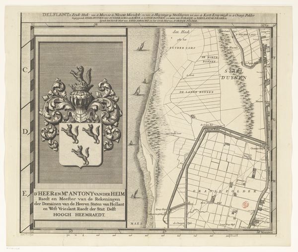
Dimensions: height 514 mm, width 595 mm
Copyright: Rijks Museum: Open Domain
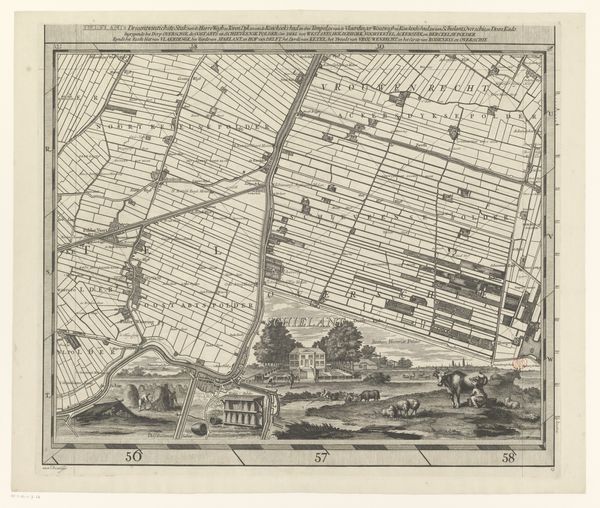
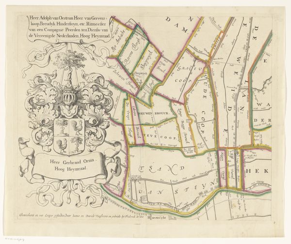
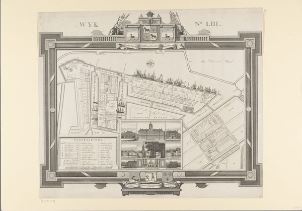
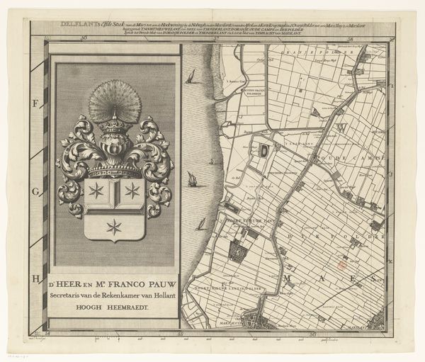
This is Luggert van Anse's copper engraving map of Delfland, notable for its intricate detail and structured design. The map uses contrasting light and dark tones to define the landscape, evoking a sense of depth. Formally, the map’s power lies in its use of semiotic systems. The structured lines denoting fields, waterways, and boundaries are not merely representational; they signify human intervention and control over the land. These lines, combined with the heraldic symbols and formal typography, operate as signs within a cultural code. The map presents Delfland not just as a geographical entity but as a territory governed by specific social and political structures. The cartographic space becomes a canvas for asserting power and order. Its rigorous geometry reflects Enlightenment ideals of rationality and control. This interplay of form and content challenges the notion of a map as a neutral document, revealing it instead as a carefully constructed representation of authority.
Comments
No comments
Be the first to comment and join the conversation on the ultimate creative platform.
More like this