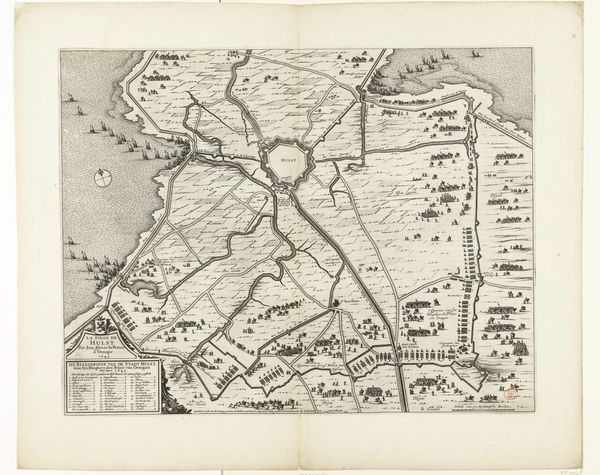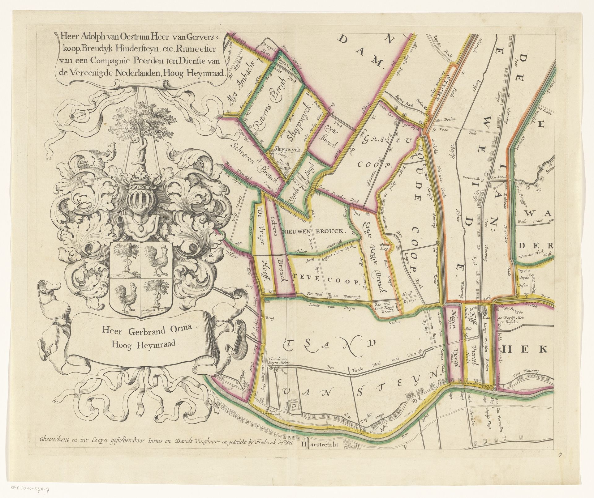
1670 - 1684
Kaart van het Hoogheemraadschap van Woerden (zevende deel)
Justus Vinckboons
1621 - 1698Location
RijksmuseumListen to curator's interpretation
Curatorial notes
Curator: What an intricate piece of draughtsmanship. We’re looking at a section of the "Kaart van het Hoogheemraadschap van Woerden", created sometime between 1670 and 1684 by Justus Vinckboons. It's a detailed map, part of a larger series, rendered with pen and ink. Editor: It's visually striking. The detail is remarkable, giving a sense of ordered control over the landscape, yet the different textured regions show its possible instability, reminding us of water management’s precarity. The material execution enhances that feeling. Curator: Exactly! The map was commissioned to delineate the Hoogheemraadschap, the water board of Woerden. These institutions were crucial for land management and flood defense in the Netherlands. Vinckboons, coming from a family of artists and architects, highlights the relationship between cartography and power. These maps aided in governance and resource allocation. Editor: That link between landscape depiction and control is key. It’s all meticulously drawn. Look closely, and you’ll see individual plots designated. Each line and name were added painstakingly. The labor embedded in creating this image highlights the labor needed to drain and maintain the land in an almost symbiotic relation of human will on environment and vica versa. It becomes evident what a precious resource usable, dry land must have been. Curator: The symbolic element of the coat-of-arms underscores the authority vested in figures like Heer Gerbrand Orma, whose name is emblazoned beneath it. He and other board members like Adolph van Oestrum would have used this map to assess land value and manage water rights. Its artistic merit elevates a utilitarian function into an emblem of political power. Editor: And those embellishments of text, crests, ribbons etc serve to dignify a largely working-class landscape, reminding me of discussions of Land Art. They act like an effort to naturalize the ruling apparatus with depictions of, in effect, their work, of managing the resources which provided material for the apparatus's emergence and sustainability. Curator: Absolutely. In a nutshell, it reveals so much more than geography—a tangible record of power, social hierarchies, and human intervention upon nature, meticulously preserved for our modern gaze in the halls of the Rijksmuseum. Editor: For me, this emphasizes the Dutch struggle to dominate their physical surroundings through sophisticated hydraulic engineering but ultimately reminds me that everything of significance is shaped and fashioned with an economy in mind.