drawing, print, paper, ink, pen
#
drawing
# print
#
pen sketch
#
paper
#
ink
#
geometric
#
pen
#
cityscape
#
history-painting
Dimensions: height 325 mm, width 492 mm
Copyright: Rijks Museum: Open Domain
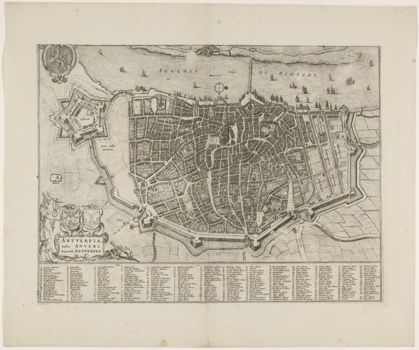
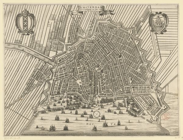
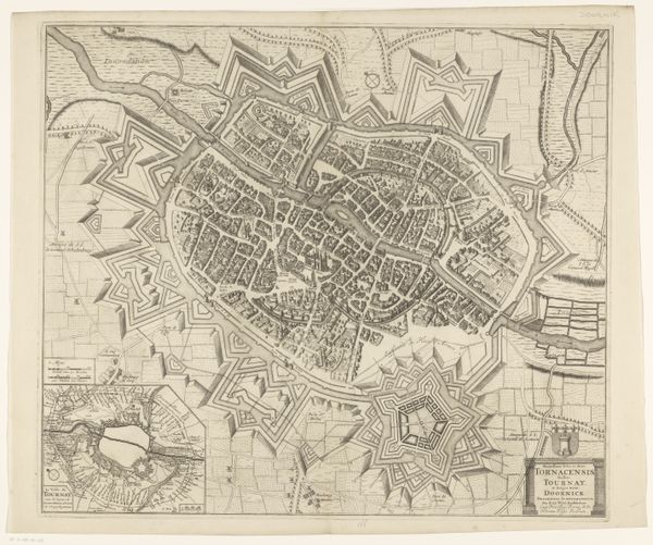
This is R. Benning’s detailed map of Antwerp, made without a known date using etching techniques. Consider the cultural and political life of Antwerp, as it reflects in this piece. Maps are powerful statements of control and knowledge, declaring dominion over space and shaping perceptions of belonging. The fortifications surrounding the city highlight concerns about defense and territorial integrity in a time of frequent conflict. The ships sailing on the Scheldt River connect the city to a broader network of trade and communication. How do you think this map, with its precise lines and comprehensive detail, might have influenced how people of the time understood their place in the world? Does the map evoke a sense of pride and security, or does it highlight the city’s vulnerability to outside threats? Perhaps it brings you to reflect on the relationship between power, knowledge, and representation, and how these themes continue to resonate in our own time.
Comments
No comments
Be the first to comment and join the conversation on the ultimate creative platform.
More like this