print, engraving
#
baroque
# print
#
old engraving style
#
line
#
cityscape
#
history-painting
#
engraving
Dimensions: height 175 mm, width 237 mm, height 257 mm, width 370 mm
Copyright: Rijks Museum: Open Domain
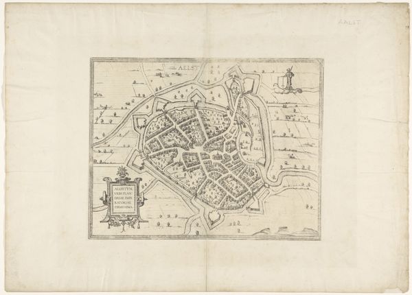
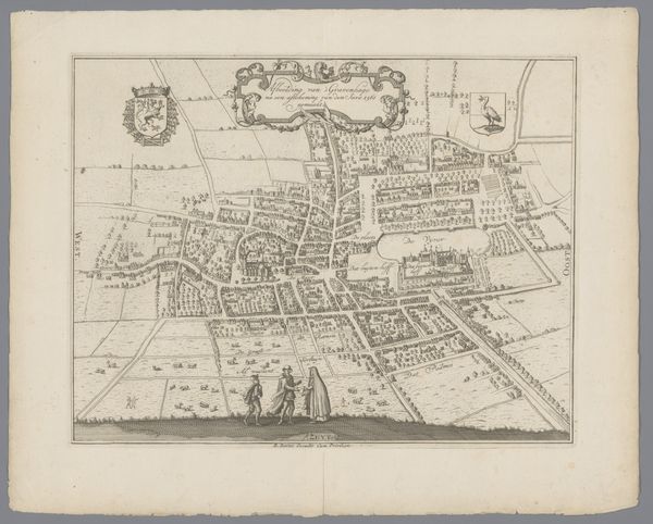
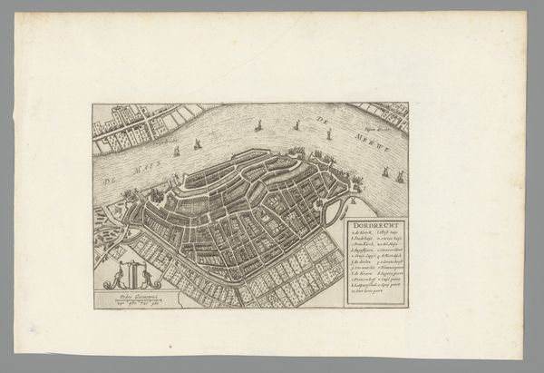
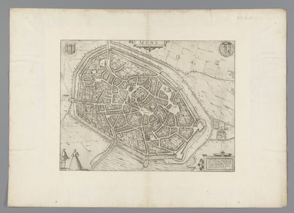
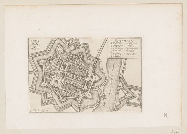
This undated print shows the Plattegrond van Landeschie, now Landrecies in Northern France, made by an anonymous artist in the Netherlands. The bird’s eye perspective gives us a view of the city’s layout and the defensive moats surrounding it. The production of city maps flourished in the Netherlands during the 16th and 17th centuries. These maps weren't just navigational tools; they were powerful symbols of civic pride and commercial prowess. The Dutch Republic was a major center of trade and exploration, and detailed, accurate maps were crucial for merchants, navigators, and military strategists. This print embodies that intersection of art, science, and commerce. It demonstrates the Dutch Republic's ability to survey, document, and, in a sense, master its world. To truly understand this image, we need to delve into the archives, libraries, and historical societies that preserve the records of this era. Understanding the social and institutional context of art helps us to interpret its meanings and the power dynamics it reflects.
Comments
No comments
Be the first to comment and join the conversation on the ultimate creative platform.
More like this