print, ink, pen, engraving
#
dutch-golden-age
# print
#
landscape
#
ink
#
pen
#
cityscape
#
decorative-art
#
engraving
Dimensions: height 520 mm, width 600 mm
Copyright: Rijks Museum: Open Domain
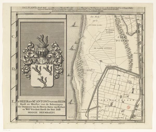
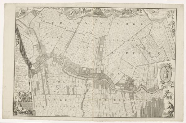
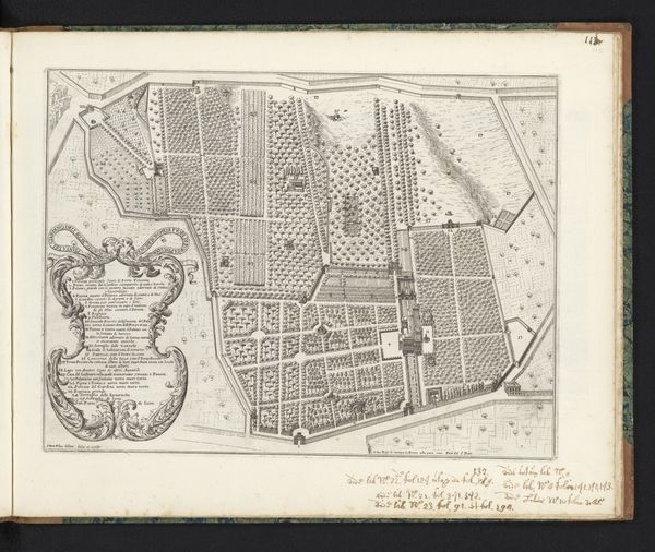
This is Luggert van Anse’s map of the Delfland region. Its most striking visual element is the clear distinction between the ornately decorated cartouche on the left and the detailed grid-like structure of the map itself on the right. This contrast in design draws our attention to the act of representation and how it operates through both symbolic and literal forms. The heraldic crest on the left, with its lavish detailing and symbolic elements, represents power and authority, while the map uses a systematic grid to denote land divisions and geographic features. The map reduces the landscape to a series of lines and shapes, suggesting an imposed order. It raises questions about how such structured representations affect our understanding of space and control. Note how the rigid lines and calculated angles create a sense of imposed order over the natural landscape. This tension between the organic and the geometric is a powerful statement about humanity's relationship with the land. This map is not just a geographical tool but a statement of power and control.
Comments
No comments
Be the first to comment and join the conversation on the ultimate creative platform.
More like this