drawing, print, paper, engraving
#
drawing
# print
#
architectural plan
#
paper
#
architectural drawing
#
architecture drawing
#
cityscape
#
engraving
Dimensions: height 653 mm, width 858 mm
Copyright: Rijks Museum: Open Domain
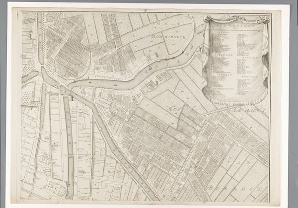
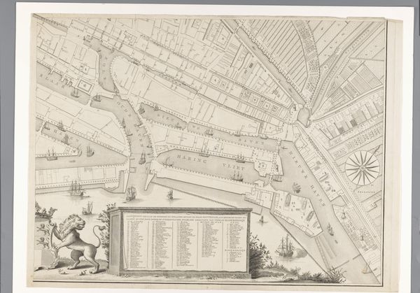
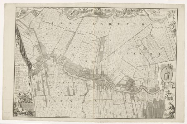
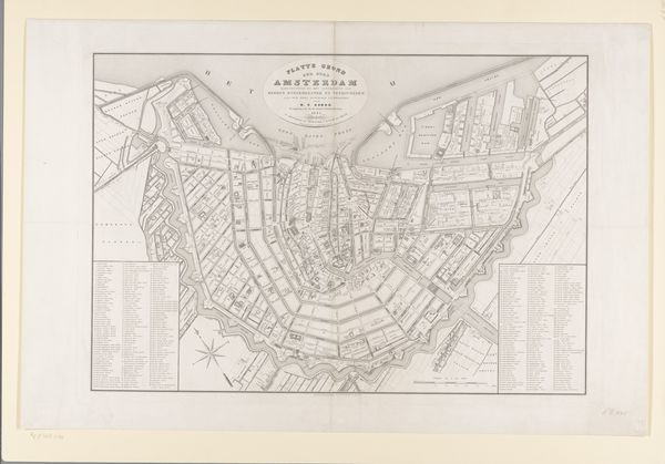
This is a section of Cornelis van Baarsel's map of Rotterdam, created around the late 18th to early 19th century. Immediately, the grid-like pattern of fields and waterways catches the eye, reflecting the Dutch mastery of landscape engineering, reminiscent of Roman centuriation. These neat divisions speak to a deeper need to impose order on nature, a symbolic act of taming the wild. This impulse echoes through time, visible in city plans from ancient Mesopotamia to modern urban developments. Consider how the act of mapping itself, from the earliest cave paintings to today’s GPS, mirrors humanity’s quest to understand and control its surroundings. The psychological impact of such structured landscapes is profound. They offer a sense of security and control but also hint at the underlying anxiety of chaos kept at bay. This tension, between order and potential disruption, informs our emotional response to landscapes, reflecting a constant negotiation between our conscious desires and subconscious fears. The map is not merely a practical tool but a potent cultural artifact, revealing layers of history, ambition, and the enduring human drive to shape the world in our image.
Comments
No comments
Be the first to comment and join the conversation on the ultimate creative platform.
More like this