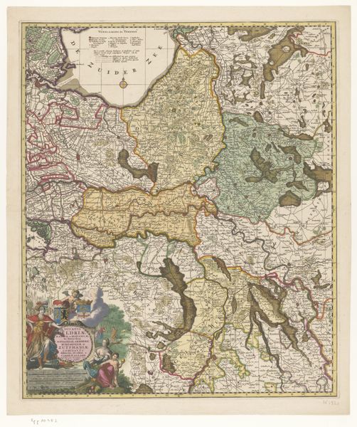
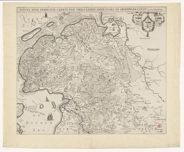
Kaart van de Republiek der Zeven Verenigde Nederlanden en omliggende gebieden (rechterdeel) 1692
0:00
0:00
pieterimortier
Rijksmuseum
graphic-art, print, engraving
#
graphic-art
#
dutch-golden-age
# print
#
geometric
#
engraving
Dimensions: height 585 mm, width 436 mm
Copyright: Rijks Museum: Open Domain
Curator: Standing before us is Pieter Mortier's 1692 engraving, "Kaart van de Republiek der Zeven Verenigde Nederlanden en omliggende gebieden (rechterdeel)," a detailed map of the Dutch Republic and neighboring areas. Its creation occurred during the Dutch Golden Age, now held at the Rijksmuseum. What's your initial take? Editor: My immediate impression is a tapestry of power, delineated not with threads, but etched lines. The sheer density of place names – it feels almost claustrophobic. So much ambition crammed onto a single sheet! I wonder about the labor behind the process, how much time etching each tiny town? Curator: It does feel almost overwhelming in its detail, doesn’t it? One can almost feel the pulse of trade and politics running through those inked rivers and borders. Imagine the original purpose, more than just geography; it’s a statement. Editor: Precisely. This map wasn't just about showing you how to get from A to B. The elaborate cartouche, the decorative flourishes, they scream status, authority, capital. I'm drawn to thinking about the material value; who owned this print? Was it displayed? How did this specific item function as a piece of economic machinery? Curator: You've pinpointed something essential. These maps were luxury items and served as potent symbols of status and awareness of your position in a wider political context. Also, let's not forget the act of collecting maps at the time. Was that itself an embodiment of one’s reach, physically and intellectually? Editor: That’s key. Thinking about maps as inherently subjective. Who's telling the story through the lines? Who is being erased, either literally or figuratively? It gives the visual detail even deeper resonances. Curator: Right. There's so much information conveyed beyond the geographical accuracy, reflecting not just physical space but the conceptual spaces within society at the time. In conclusion, this graphic art gives us more than what initially meets the eye. Editor: Absolutely, I leave thinking more deeply about maps as fabricated things laden with economic and political ideologies and how this one served the ruling classes.
Comments
No comments
Be the first to comment and join the conversation on the ultimate creative platform.
More like this