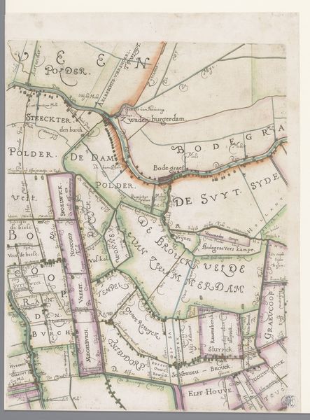
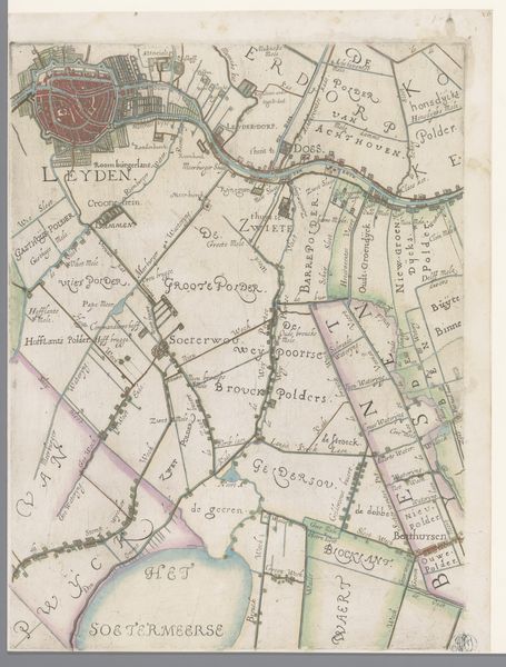
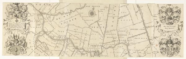
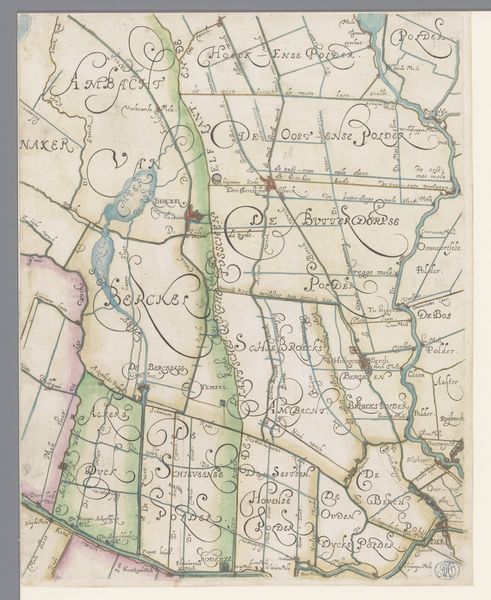
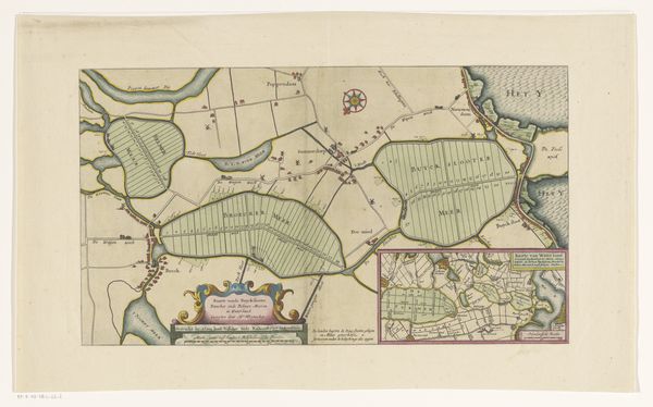
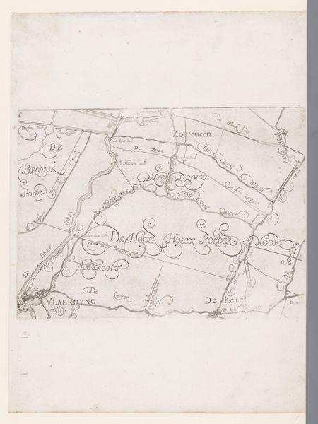
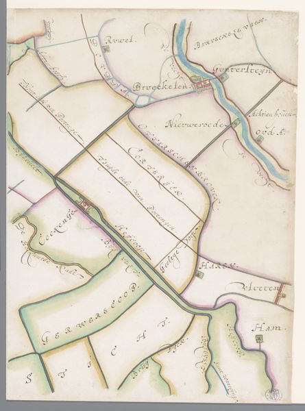
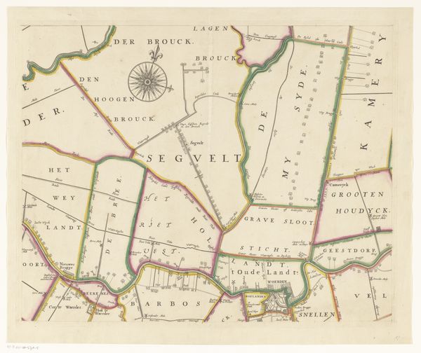
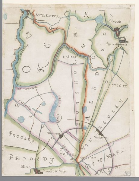
Deel van een kaart van het Hoogheemraadschap van Rijnland, met Nieuwveen en Nieuwkoop 1615
0:00
0:00
florisbalthasarszvanberckenrode
Rijksmuseum
drawing, paper, watercolor
#
drawing
#
dutch-golden-age
#
landscape
#
paper
#
watercolor
#
watercolor
Dimensions: height 366 mm, width 273 mm
Copyright: Rijks Museum: Open Domain
This is a section of a map of the Hoogheemraadschap of Rijnland, including Nieuwveen and Nieuwkoop, created around the turn of the 17th century by Floris Balthasarsz van Berckenrode. It’s made with ink and paint on paper – humble materials, yet capable of conveying tremendous information. The artistry lies not just in the hand that rendered it, but also in the collective labor it represents. Mapping such a landscape was a complex undertaking, requiring surveying, measurement, and a deep understanding of the territory. The act of mapping itself transforms the land into a commodity, something to be owned, managed, and exploited. The map offers a bird's-eye view. Waterways are prominent, reflecting their crucial role in transport and land management. The precise rendering of property boundaries speaks to the growing importance of land ownership and the emergence of a capitalist economy. Consider the time and effort that went into creating this document. The skills of the cartographer, the labor of surveyors, and the economic forces shaping the landscape – all are embedded in this seemingly simple piece of paper, challenging any separation between art, craft, and the wider world.
Comments
No comments
Be the first to comment and join the conversation on the ultimate creative platform.
More like this