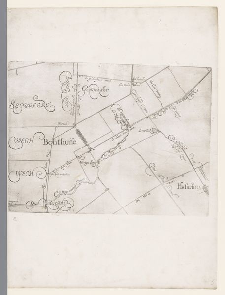
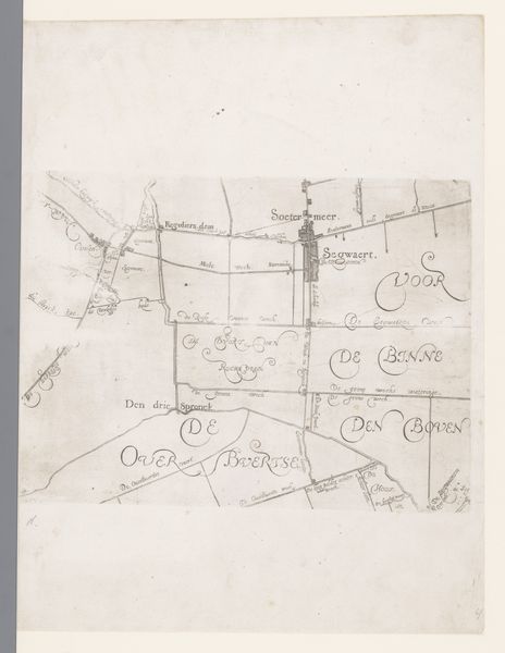
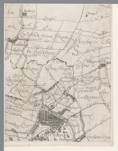
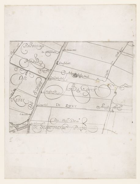
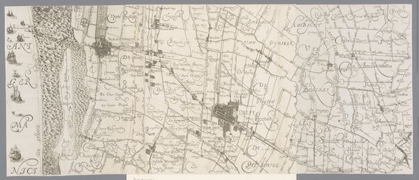
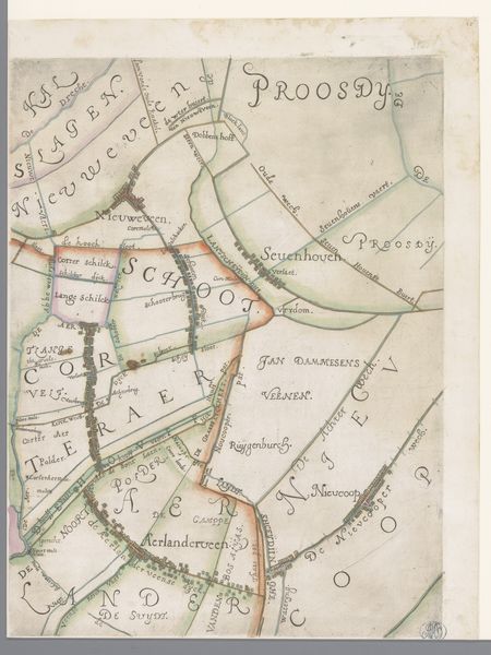
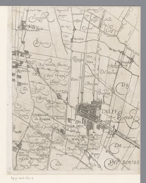
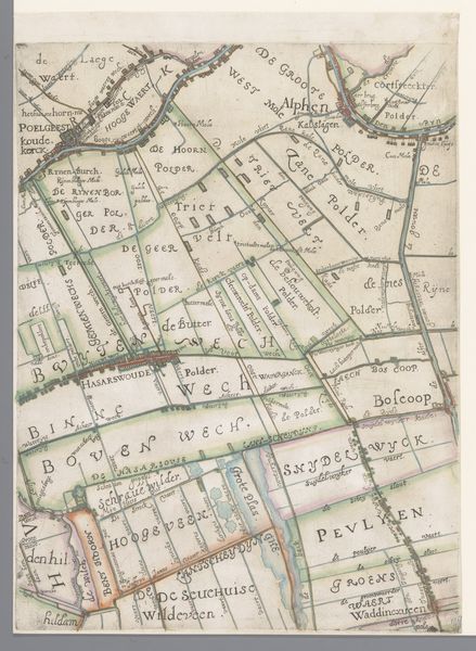
Kaart van het Hoogheemraadschap van Schieland, met Vlaardingen 1611 - 1635
0:00
0:00
florisbalthasarszvanberckenrode
Rijksmuseum
drawing, paper, ink
#
drawing
#
comic strip sketch
#
aged paper
#
light pencil work
#
dutch-golden-age
#
sketch book
#
landscape
#
paper
#
personal sketchbook
#
ink
#
sketchwork
#
ink drawing experimentation
#
geometric
#
sketchbook drawing
#
cityscape
#
genre-painting
#
storyboard and sketchbook work
#
sketchbook art
Dimensions: height 216 mm, width 295 mm
Copyright: Rijks Museum: Open Domain
Editor: So, this drawing is "Kaart van het Hoogheemraadschap van Schieland, met Vlaardingen" by Floris Balthasarsz van Berckenrode, dating from between 1611 and 1635. It's ink on paper and shows a detailed map. It feels like a practical document, yet it also possesses an undeniable artistic quality, almost like an infographic of its time. What do you see in this piece? Curator: What strikes me immediately is how this map collapses distinctions between art, labor, and material necessity. Look at the intricate lines – they're not just representing geographical features; they represent the labor invested in surveying, in land management, in the very act of claiming and controlling territory. Who was consuming this image and what did that signify? Editor: I suppose it’s for those in charge of the Hoogheemraadschap—the local water board. But what does that tell us about its value as 'art'? Curator: Exactly! The value lies in understanding its function. This isn’t simply aesthetic contemplation. It’s a tool of power, reflecting the socio-economic structures of the Dutch Golden Age, where land reclamation and water management were crucial for trade and prosperity. The paper itself, the ink – commodities, shaped by global trade routes and exploited labor – contribute to the construction of this visual claim. What are the connections between how people made a living and the making of art itself? Editor: That’s fascinating. So you’re saying it’s not just about the image itself, but also about the materials, the process, and what that reveals about the society that created it? Curator: Precisely! It encourages us to move past aesthetic judgment to consider the means of production, the conditions of labor, and the consumption of resources inherent in the artwork. By viewing maps like this as a material record, we can unearth layers of history often obscured by conventional art historical analysis. Editor: I never considered that materials and function were so intrinsically linked to artistic meaning! Thank you. Curator: My pleasure. Now you have a framework for approaching not only similar drawings, but other artworks as well.
Comments
No comments
Be the first to comment and join the conversation on the ultimate creative platform.
More like this