About this artwork
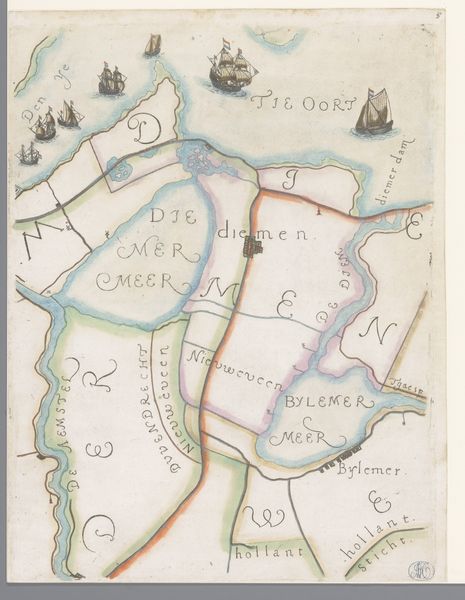
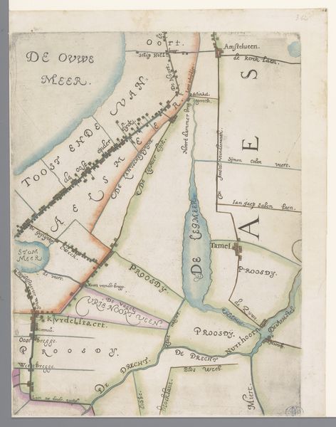
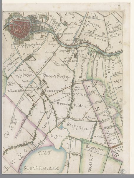
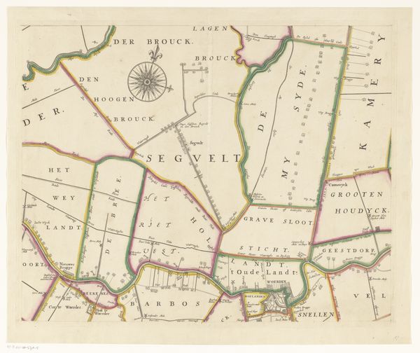
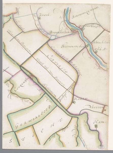
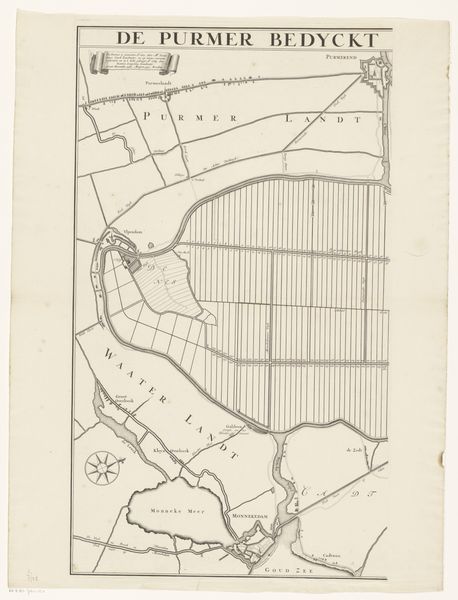
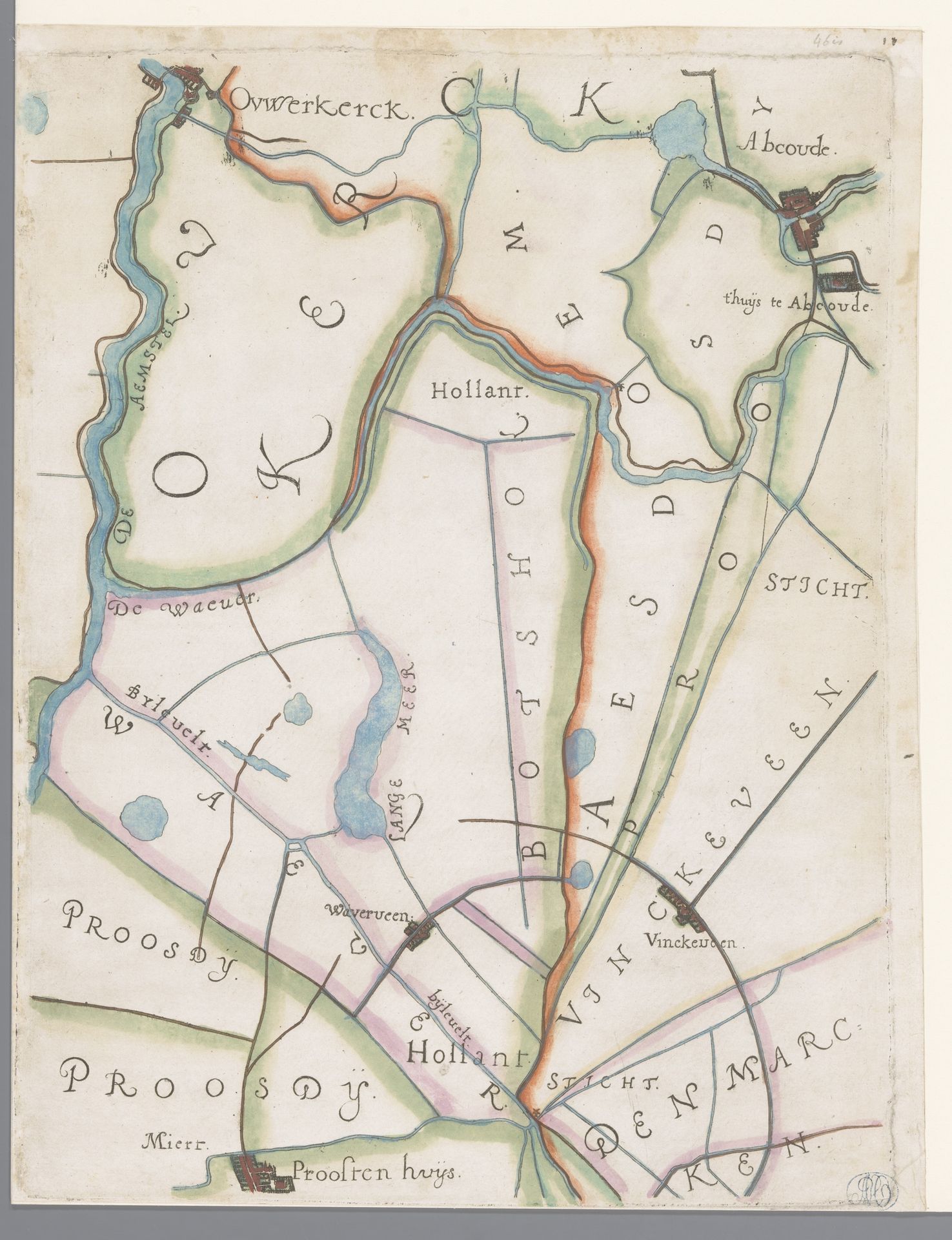
This is a portion of a map of the Hoogheemraadschap of Rijnland, including Abcoude and Vinkeveen, created by Floris Balthasarsz van Berckenrode. Produced during the early 17th century, a period of significant transformation in the Netherlands, this map reflects the Dutch Republic's burgeoning identity and power through its detailed depiction of land and water management. Berckenrode’s map transcends simple cartography, representing a society deeply invested in controlling its environment. Land reclamation projects and sophisticated hydraulic engineering were crucial to both the Dutch economy and its cultural identity. The careful demarcation of land also speaks to issues of ownership and control. Consider how the act of mapping itself is an act of claiming and defining space. It not only pictures the physical landscape but also inscribes the social and political structures onto the territory. What stories does the land tell? How does it shape the identities of those who live and work on it?
Deel van een kaart van het Hoogheemraadschap van Rijnland, met Abcoude en Vinkeveen
1615
Floris Balthasarsz van Berckenrode
1562 - 1616Location
RijksmuseumArtwork details
- Medium
- drawing, etching
- Dimensions
- height 370 mm, width 282 mm
- Location
- Rijksmuseum
- Copyright
- Rijks Museum: Open Domain
Tags
Comments
Share your thoughts
About this artwork
This is a portion of a map of the Hoogheemraadschap of Rijnland, including Abcoude and Vinkeveen, created by Floris Balthasarsz van Berckenrode. Produced during the early 17th century, a period of significant transformation in the Netherlands, this map reflects the Dutch Republic's burgeoning identity and power through its detailed depiction of land and water management. Berckenrode’s map transcends simple cartography, representing a society deeply invested in controlling its environment. Land reclamation projects and sophisticated hydraulic engineering were crucial to both the Dutch economy and its cultural identity. The careful demarcation of land also speaks to issues of ownership and control. Consider how the act of mapping itself is an act of claiming and defining space. It not only pictures the physical landscape but also inscribes the social and political structures onto the territory. What stories does the land tell? How does it shape the identities of those who live and work on it?
Comments
Share your thoughts