print, etching
#
dutch-golden-age
# print
#
etching
#
old engraving style
#
landscape
#
etching
#
genre-painting
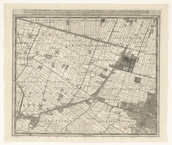
Dimensions: height 515 mm, width 597 mm
Copyright: Rijks Museum: Open Domain
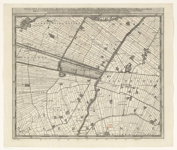
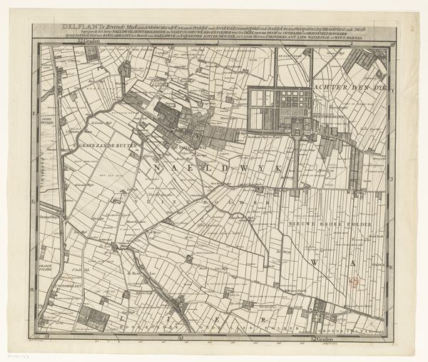
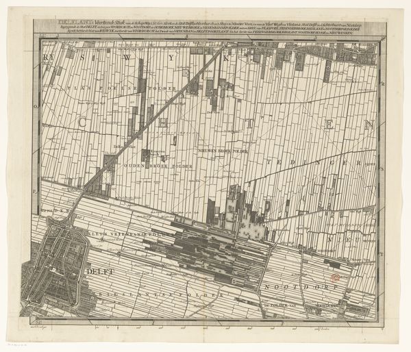
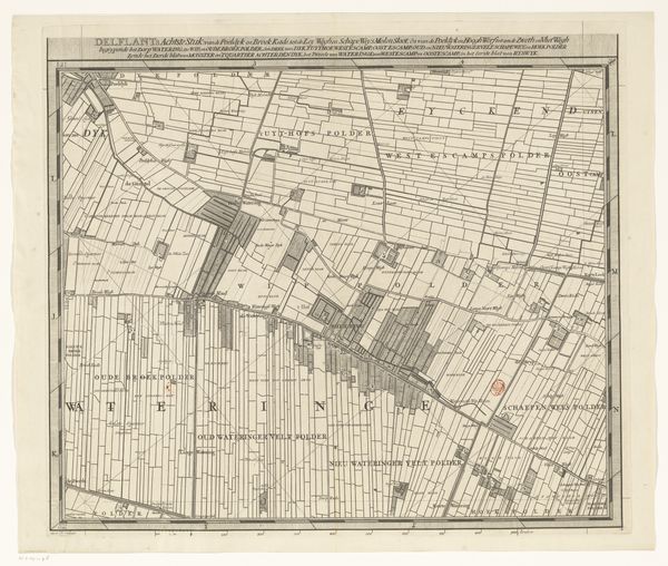
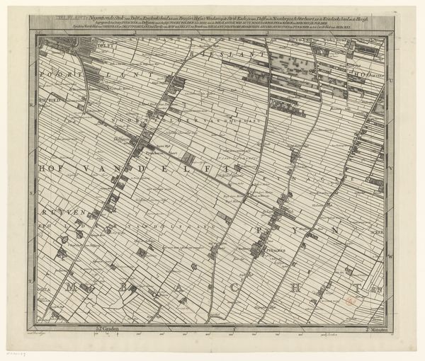
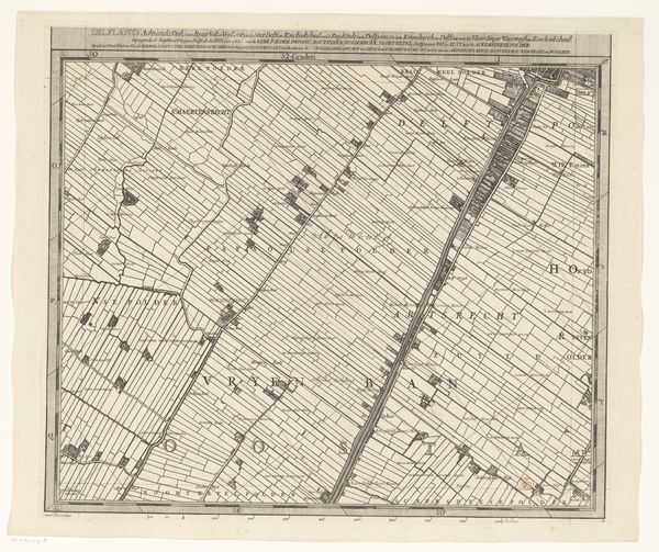
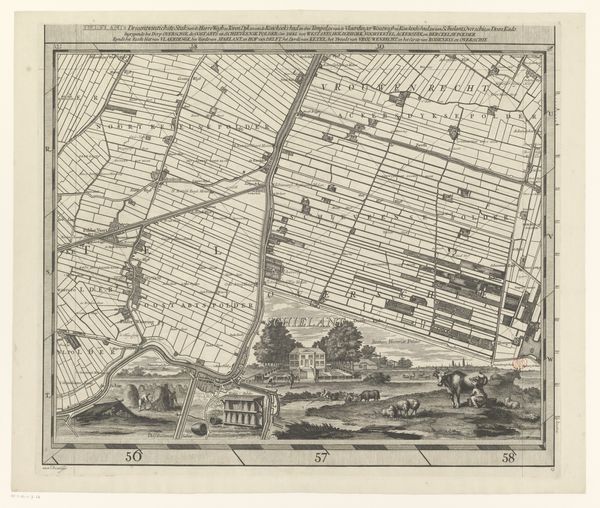
This is the second section of the ‘Map of the Delfland Water Board’ by Luggert van Anse. This map offers us a window into the Dutch Republic, a place that was distinguished by its unique political structure, economic strength, and cultural achievements. It was a society marked by a complex interplay of social classes, religious beliefs, and regional identities. It illustrates not just geographical space, but also the human endeavor to shape and control the natural world. Look closely at the ordered landscape, and consider who benefits from this careful organization of space, and who labors to maintain it? Consider that these landscapes also reflect the social hierarchies, economic activities, and power structures of the time. What does it mean to claim and cultivate land? The map shows how it was divided and used. Cartography is an act of claiming space, and in the early modern period, it was a powerful tool for establishing control. This map is more than just an objective representation; it's a statement of power and a reflection of human ambition.
Comments
No comments
Be the first to comment and join the conversation on the ultimate creative platform.
More like this