print, engraving
#
dutch-golden-age
# print
#
pen sketch
#
old engraving style
#
landscape
#
geometric
#
line
#
cityscape
#
engraving
Dimensions: height 408 mm, width 505 mm
Copyright: Rijks Museum: Open Domain
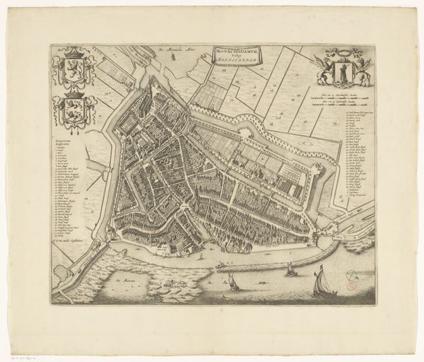
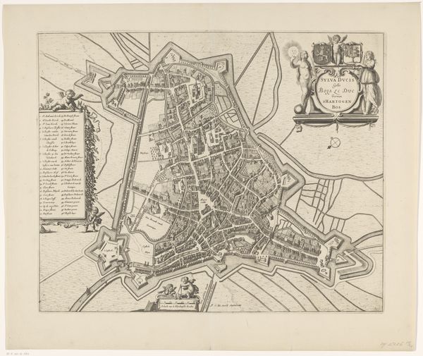
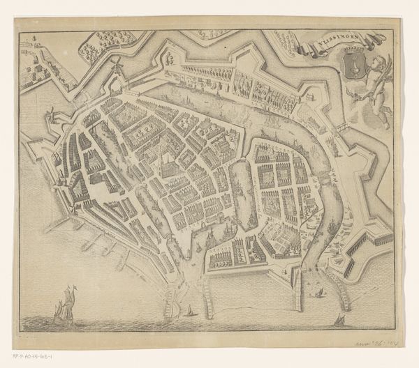
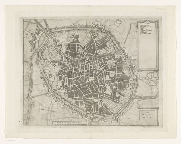
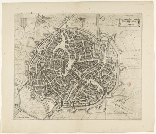
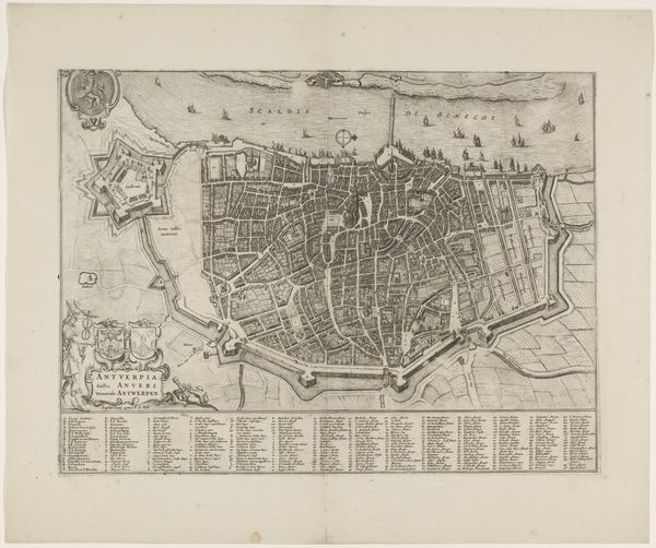
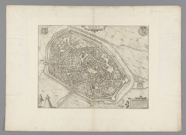
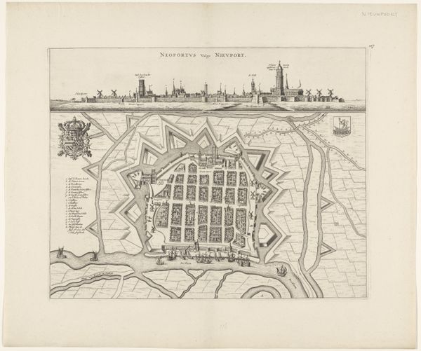
This is an anonymous plattegrond of Maastricht, a print on paper, that captures the city from an aerial perspective. Maps like this are not just neutral depictions of geography; they are cultural and political statements. Think about who gets to decide what is included, what is emphasized, and how it's all represented. What does it mean to map something, to name something, and to claim something? This map reflects the city's identity through its architecture and layout, revealing a society structured by power, trade, and military strategy. It is a carefully designed image, intended to not only inform but also to project authority and control over the urban space. While the map provides a bird's-eye view of the city's structure, I wonder about the lives of the people who lived within its walls, their daily routines, their struggles, and their dreams. How did the fortifications and strategic layout of Maastricht shape their experiences of home and community?
Comments
No comments
Be the first to comment and join the conversation on the ultimate creative platform.
More like this