drawing, print, ink, engraving
#
drawing
#
baroque
#
pen drawing
# print
#
pen illustration
#
pen sketch
#
landscape
#
ink line art
#
ink
#
geometric
#
pen-ink sketch
#
thin linework
#
pen work
#
sketchbook drawing
#
cityscape
#
coloring book page
#
engraving
#
doodle art
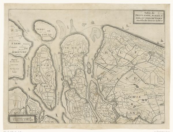
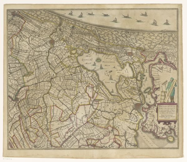
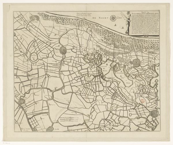
Dimensions: height 455 mm, width 555 mm
Copyright: Rijks Museum: Open Domain
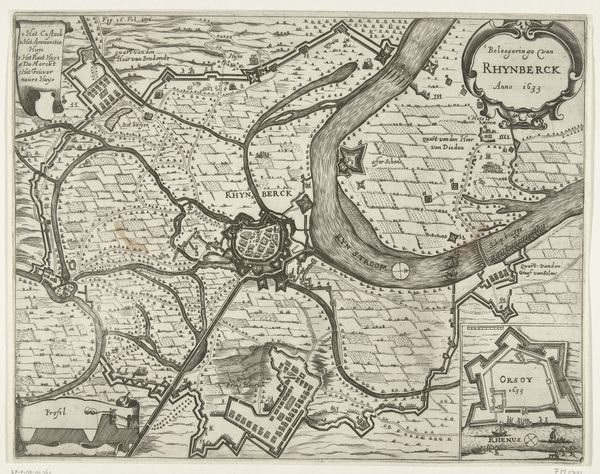
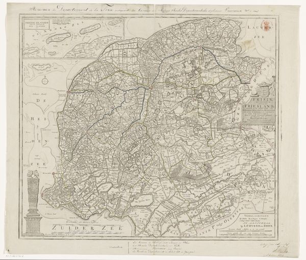
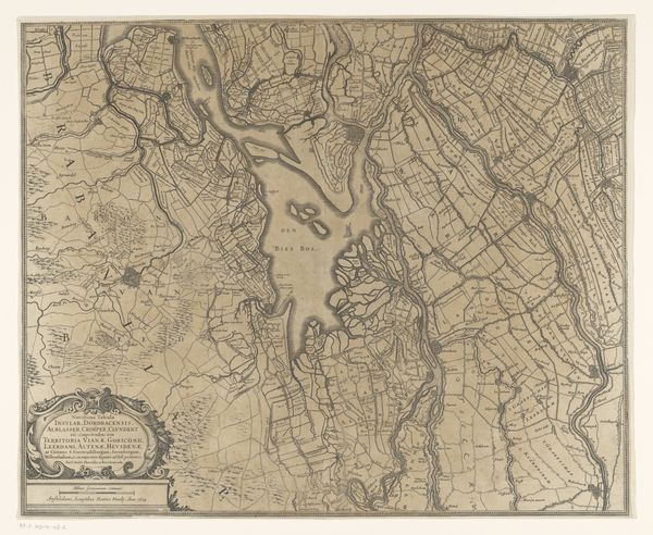
This is an anonymous map of Delfland, Schieland, and the South Holland Islands. The cartographer has used detailed and precise engraving to capture the complex network of waterways and land divisions in the area. The visual effect is striking, a dense tapestry of lines and shapes, which invites closer inspection. The map's structure reveals much about the relationship between the Dutch and their landscape. The careful demarcation of land suggests a society deeply engaged in managing and controlling its environment. Straight lines dissect and organize territory into rational, geometric forms. This hints at a worldview rooted in order and control. The map isn't just a representation of space; it is a statement of the relationship between culture and nature. Consider the visual language here: lines define boundaries, and shapes denote territories. This reflects broader cultural codes of ownership and governance. The map invites us to reflect on how we perceive and represent space, and how these representations shape our understanding of the world.
Comments
No comments
Be the first to comment and join the conversation on the ultimate creative platform.
More like this