drawing, print, paper, engraving
#
drawing
#
dutch-golden-age
# print
#
old engraving style
#
paper
#
watercolour illustration
#
natural palette
#
engraving
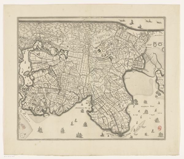
Dimensions: height 446 mm, width 546 mm
Copyright: Rijks Museum: Open Domain
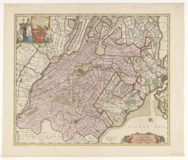
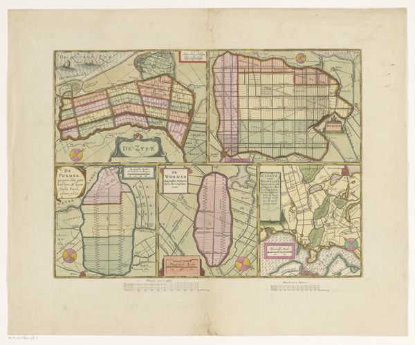
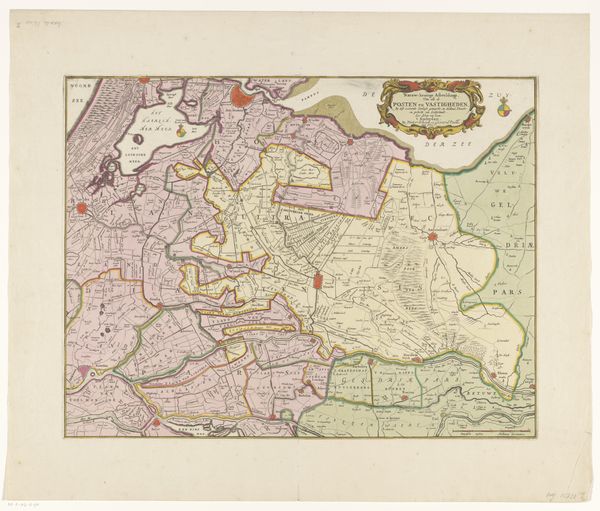
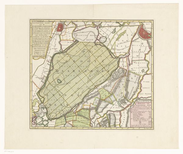
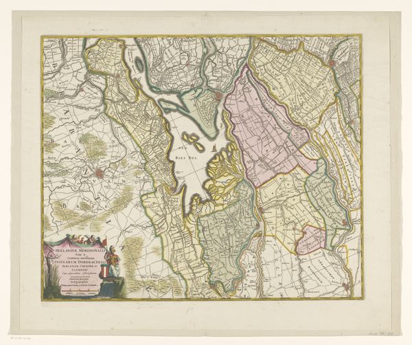
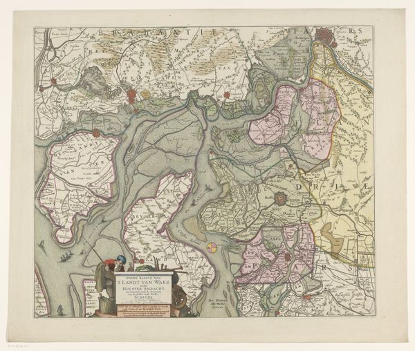
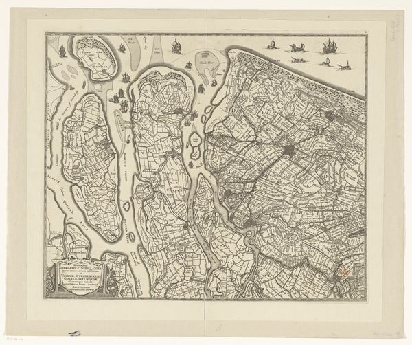
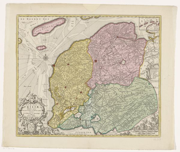
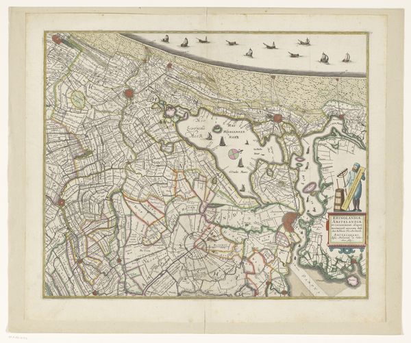
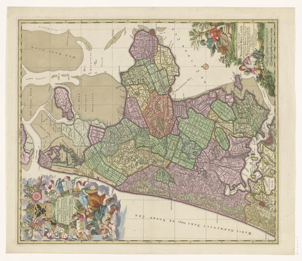
This is an anonymous map of Delfland, Schieland and the South Holland Islands. Though undated, we can assume it originates from the Dutch Golden Age, a period when the Netherlands was at the forefront of cartography. Such maps were not merely navigational tools; they were powerful assertions of territorial control and national identity. This map meticulously details the intricate network of waterways, polders, and urban centers that defined the Dutch landscape. The geography of the Netherlands, shaped by its ongoing battle against the sea, profoundly influenced its culture and economy. The map underscores the importance of water management, a critical aspect of Dutch society. Maps such as these reflect the rise of Dutch maritime power and commercial dominance during the 17th century. They were tools of empire, enabling trade and colonial expansion. As historians, we can examine archival records, trade logs, and other maps to reconstruct the political and economic context in which it was produced. The meaning of this map is contingent on these wider, more tangible, historical and social contexts.
Comments
No comments
Be the first to comment and join the conversation on the ultimate creative platform.
More like this