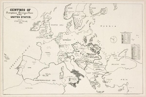
drawing, graphic-art, print, etching, paper, engraving
#
drawing
#
graphic-art
# print
#
etching
#
etching
#
paper
#
romanticism
#
engraving
Dimensions: height 429 mm, width 500 mm
Copyright: Rijks Museum: Open Domain
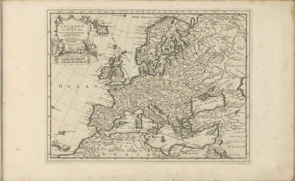
This map of Europe was made in 1805 by Theodoor Koning, and it offers us insight into the political landscape of the time. At first glance, it seems purely informational. But the map is far from neutral. Cartography was then, and is now, a powerful tool for shaping perceptions of territory and control. Note the way national borders are emphasized, subtly legitimizing the concept of the nation-state, a relatively new idea in the early 19th century. The map reflects the Enlightenment's emphasis on reason and order but also hints at the growing sense of nationalism that would soon sweep across Europe, with profound consequences. We can understand how this map operated within specific social and institutional contexts by researching the mapmaker, its commissioner, and the intended audience. Old maps such as this are rich resources for social and cultural historians!
Comments
No comments
Be the first to comment and join the conversation on the ultimate creative platform.
More like this