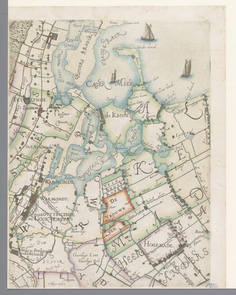
1615
Deel van een kaart van het Hoogheemraadschap van Rijnland, met Alphen aan den Rijn en omgeving
Floris Balthasarsz van Berckenrode
1562 - 1616Location
RijksmuseumListen to curator's interpretation
Curatorial notes
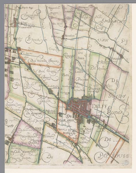
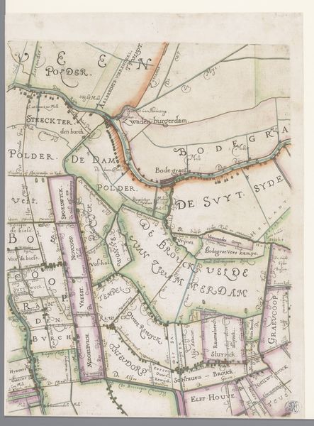
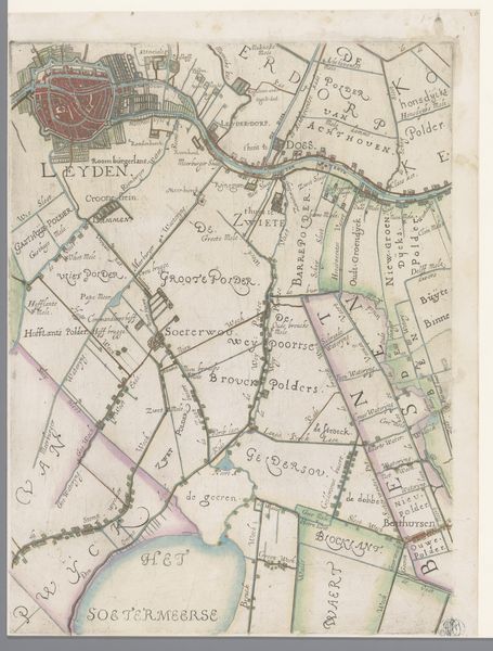
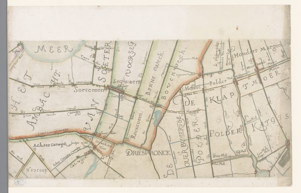
This is a section of a map of Rijnland made by Floris Balthasarsz van Berckenrode, a Dutch cartographer, sometime around the turn of the 17th century. Maps like this one were not just geographic tools; they were powerful instruments used by institutions to exert control over territory and resources. Rijnland was governed by a water board, or "Hoogheemraadschap," responsible for managing the region's complex system of waterways and polders, land reclaimed from the sea. The map meticulously details these engineered landscapes, reflecting the Dutch Republic's mastery of hydraulic engineering, which was essential to its economic and political power. Note how the land is divided into parcels. This reflects the rise of a merchant class whose wealth came from trade and control over land. Understanding this map requires considering its institutional context: the rise of Dutch mercantile power, the ongoing struggle against the sea, and the powerful water boards that shaped the landscape and society of Rijnland. We can learn more from archives and other historical documents. Only then can we begin to understand the full social and historical significance of this seemingly simple map.