About this artwork
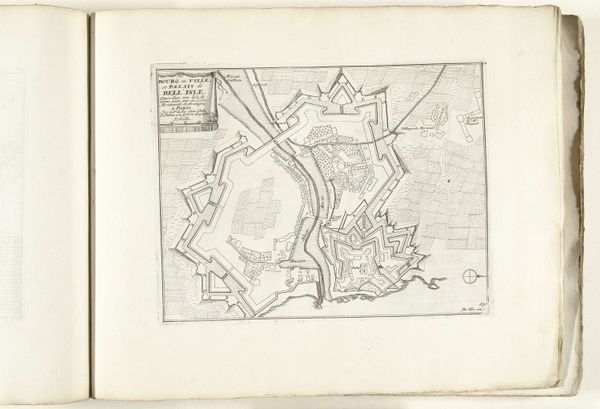
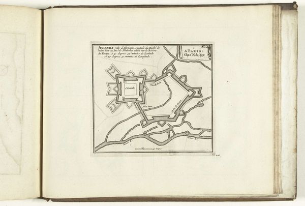
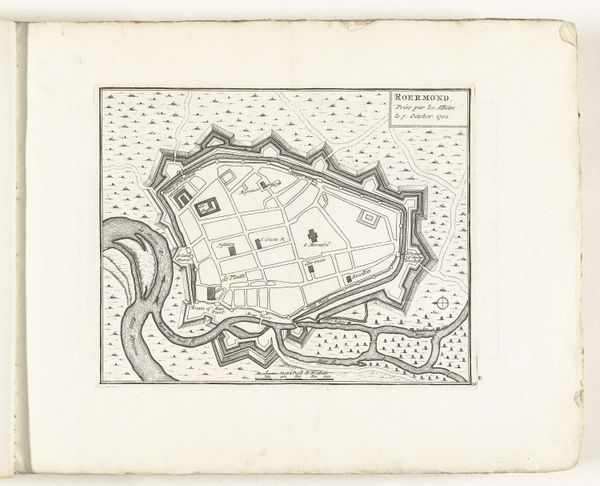
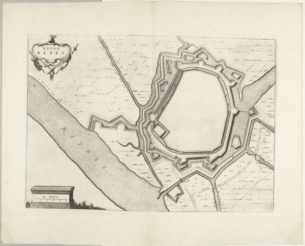
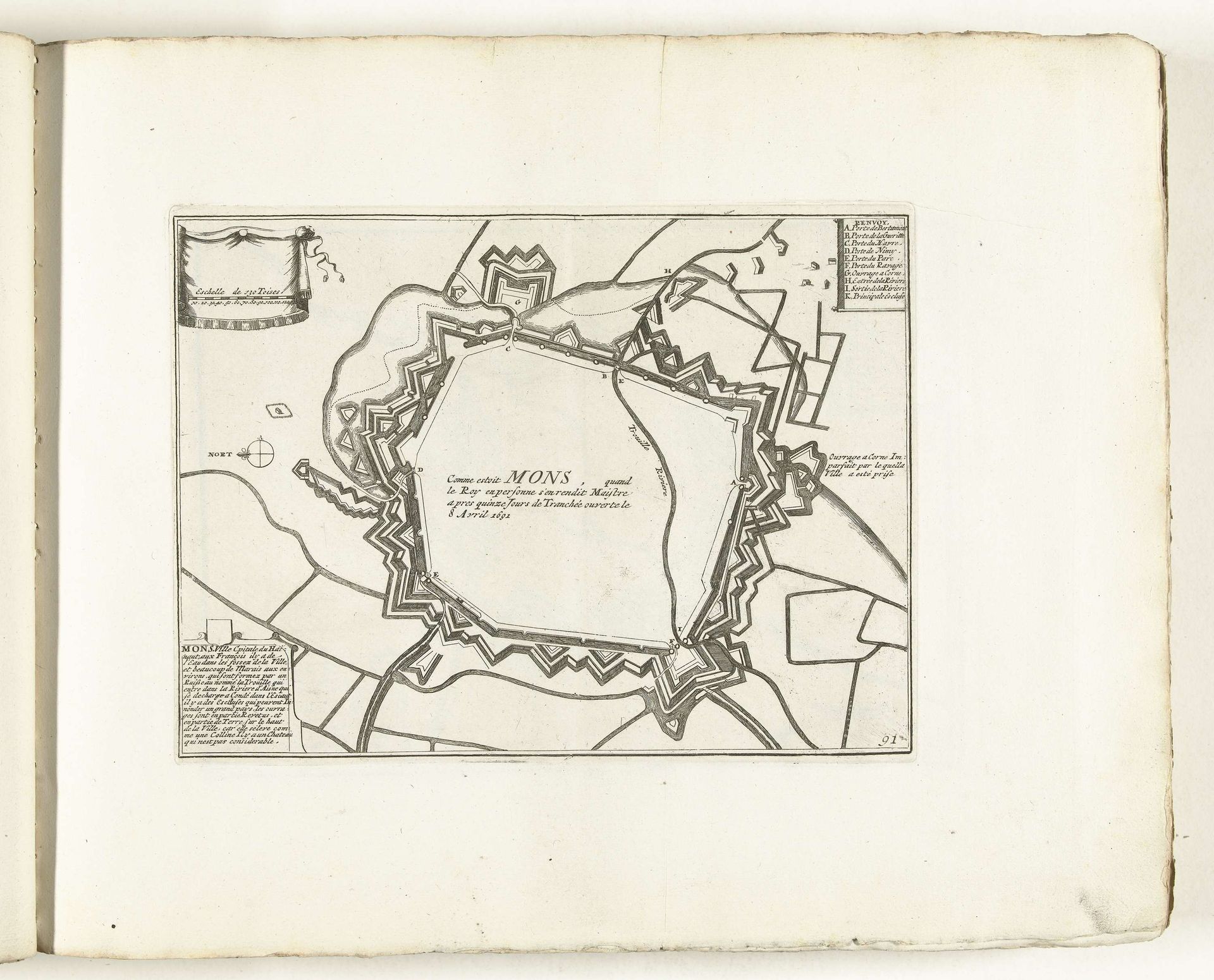
This is an anonymous map of Mons, made around 1702, now held at the Rijksmuseum. Its stark lines and functional aesthetic reflect the priorities of its time: military strategy and control. Made during the War of the Spanish Succession, this map wasn’t created for aesthetic pleasure, but for strategic planning. The detailed depiction of fortifications speaks to the era's obsession with military architecture. The cultural landscape of the 18th century was shaped by constant power struggles between European states; cartography, therefore, became a tool of governance. To fully understand this piece, we need to look into the political context of the Dutch Republic. Resources in military history and cartography can reveal how such images played a role in shaping territorial power and national identity. The meaning of art, such as this, is contingent on its social and institutional context.
Artwork details
- Medium
- drawing, paper, ink, engraving
- Dimensions
- height 202 mm, width 267 mm
- Location
- Rijksmuseum
- Copyright
- Rijks Museum: Open Domain
Tags
Comments
Share your thoughts
About this artwork
This is an anonymous map of Mons, made around 1702, now held at the Rijksmuseum. Its stark lines and functional aesthetic reflect the priorities of its time: military strategy and control. Made during the War of the Spanish Succession, this map wasn’t created for aesthetic pleasure, but for strategic planning. The detailed depiction of fortifications speaks to the era's obsession with military architecture. The cultural landscape of the 18th century was shaped by constant power struggles between European states; cartography, therefore, became a tool of governance. To fully understand this piece, we need to look into the political context of the Dutch Republic. Resources in military history and cartography can reveal how such images played a role in shaping territorial power and national identity. The meaning of art, such as this, is contingent on its social and institutional context.
Comments
Share your thoughts