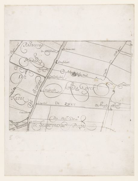
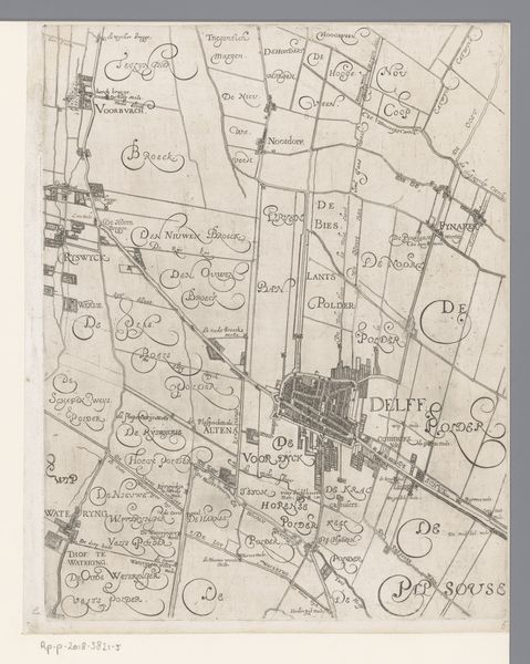
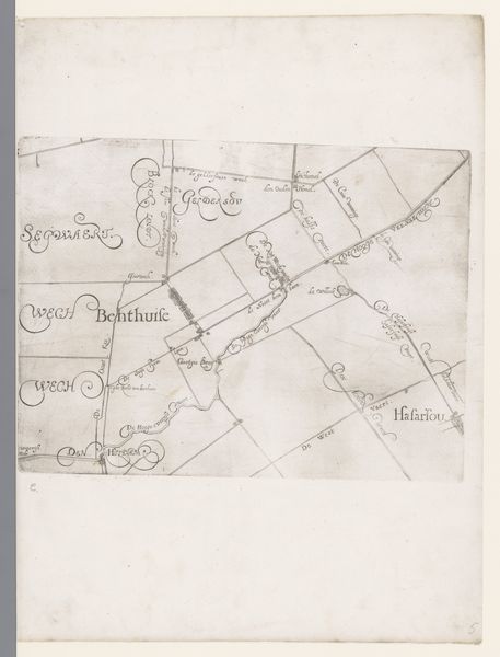
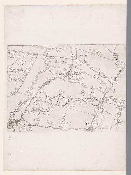
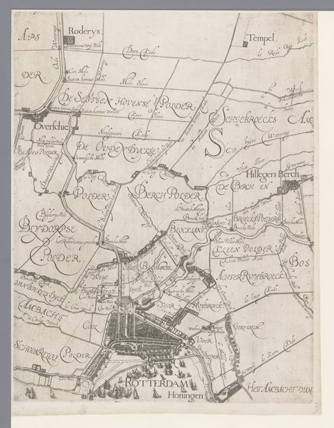
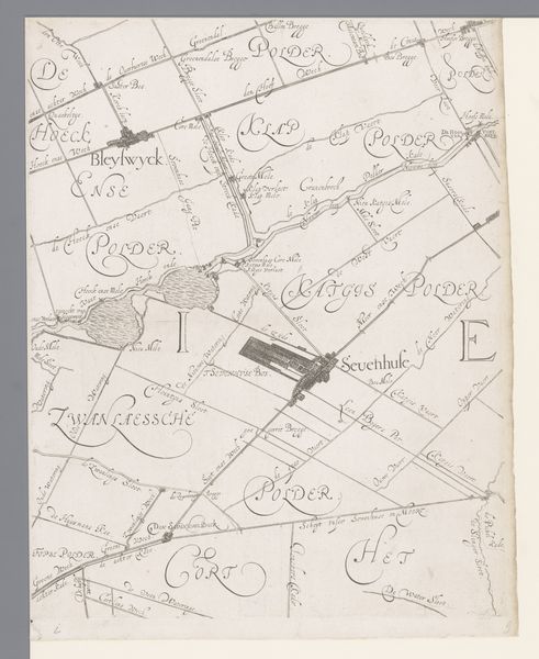
Kaart van het Hoogheemraadschap van Schieland, met Zoetermeer en Seghwaert 1611 - 1635
0:00
0:00
florisbalthasarszvanberckenrode
Rijksmuseum
drawing, paper, ink
#
drawing
#
dutch-golden-age
#
landscape
#
paper
#
ink
Dimensions: height 220 mm, width 300 mm
Copyright: Rijks Museum: Open Domain
Editor: This ink drawing, “Kaart van het Hoogheemraadschap van Schieland, met Zoetermeer en Seghwaert,” made sometime between 1611 and 1635 by Floris Balthasarsz van Berckenrode, depicts a landscape. The composition seems sparse, and the writing on the map is so decorative; what stands out to you? Curator: It is sparse, but this also lends it a certain purity. The landscape map holds potent symbolic weight. It's more than just geography; it’s a statement about control, ownership, and a certain kind of order imposed on nature. Do you notice how the text is integrated with the physical space, almost becoming a part of the terrain itself? Editor: Yes, the calligraphy practically *is* the landscape, defining fields and waterways! Is there an emotional aspect to how they depicted water and land back then? Curator: Absolutely. Water management in the Netherlands, especially during this period, was not merely practical, but imbued with cultural meaning. Think about the Dutch saying “God created the world, but the Dutch created the Netherlands”. This map celebrates the Dutch mastery over water, reclaiming land. See how land parcels appear almost geometric, implying that humanity has reigned in wild chaos? Editor: That’s fascinating. The map as a symbol of human triumph… it puts the artwork in a whole new context. It’s much less neutral than I initially perceived. Curator: Precisely. Consider the weight given to visual rhetoric. This "neutral" map projects Dutch resolve against nature itself. And each generation inheriting the map is reminded of that cultural identity. Editor: I’ll definitely remember that – maps aren’t just neutral tools, but potent carriers of cultural memory! Thank you! Curator: My pleasure; thinking about maps will never be quite the same, right?
Comments
No comments
Be the first to comment and join the conversation on the ultimate creative platform.
More like this