drawing, graphite, pen
#
drawing
#
aged paper
#
16_19th-century
#
pale palette
#
old engraving style
#
hand drawn type
#
landscape
#
personal sketchbook
#
hand drawn
#
geometric
#
pen and pencil
#
graphite
#
sketchbook drawing
#
pen
#
storyboard and sketchbook work
#
sketchbook art
#
realism
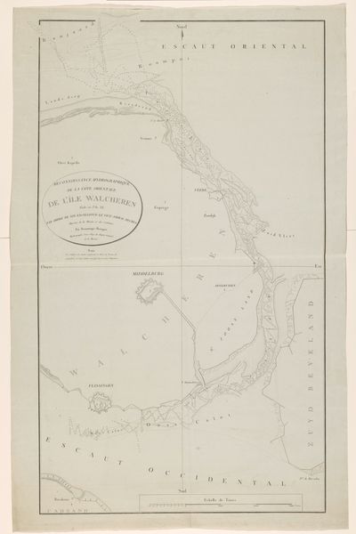
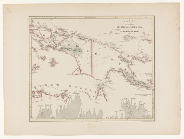
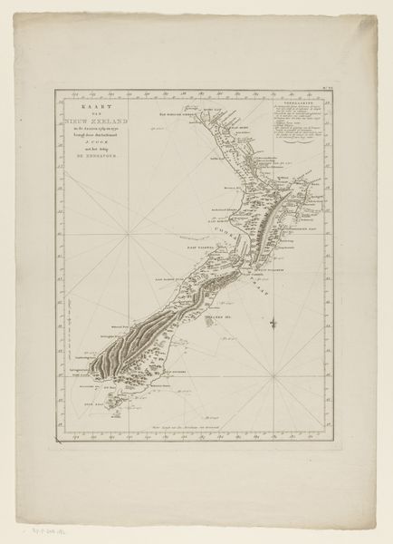
Dimensions: height 647 mm, width 502 mm
Copyright: Rijks Museum: Open Domain
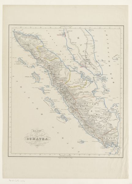
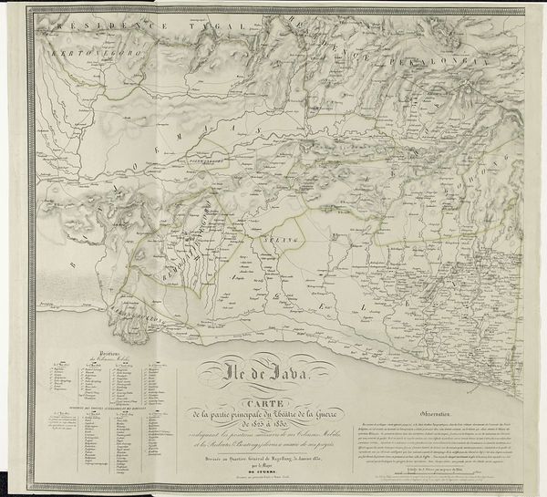
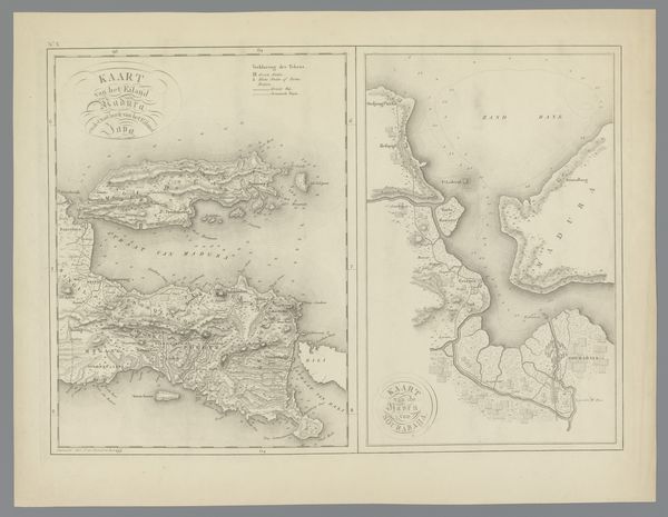
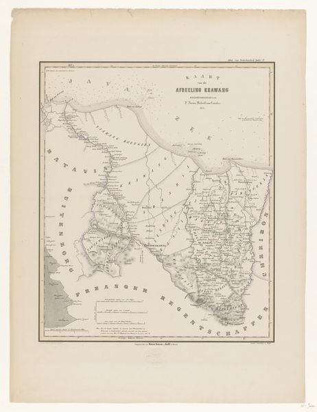
Editor: This drawing, "Kaart van Sumatra," by Ch. van Lier, dated 1848, is a detailed map rendered with pen, graphite, and ink. The level of detail is incredible! What can you tell me about the context in which a piece like this would be created? Curator: Maps like these are never neutral. The impulse to survey, document, and ultimately represent a territory speaks volumes about the power dynamics at play. Sumatra, as part of the Dutch East Indies, was undergoing significant colonial mapping during this period. Editor: So, it’s more than just geographic documentation? Curator: Precisely. Cartography was a tool of empire. Maps weren't just reflecting reality; they were actively constructing it. They served to solidify claims, control resources, and facilitate governance. Think about whose interests were being served when this map was made. What wasn't included? Editor: That makes me think about the perspective… who was the intended audience? How did they want Sumatra to be seen? Curator: Excellent questions. A map like this, with its precision and details, was likely intended for administrative or even military use by the Dutch colonial authorities. The visual language presents Sumatra as a territory ripe for exploration and exploitation. Editor: Looking closely at the 'old engraving style' and the 'hand-drawn type', it does feel like an attempt to create a sense of authority and knowledge. It makes me wonder about the indigenous understanding of the land at that time. Curator: Exactly! And that tension, between the imposed colonial vision and the lived reality of the Sumatran people, is where the real historical richness lies. This map offers not just geographical data but a glimpse into the power structures of the 19th century. Editor: I see the map now in a completely different light. It’s a record of power and control, presented as objective information. I had never considered that. Thanks! Curator: And I'm glad you’re now thinking about whose stories these lines and labels tell, and whose they omit. These beautiful lines show how a simple drawing has many implications.
Comments
No comments
Be the first to comment and join the conversation on the ultimate creative platform.
More like this