drawing, print, paper, ink
#
drawing
# print
#
landscape
#
paper
#
ink
#
geometric
#
orientalism
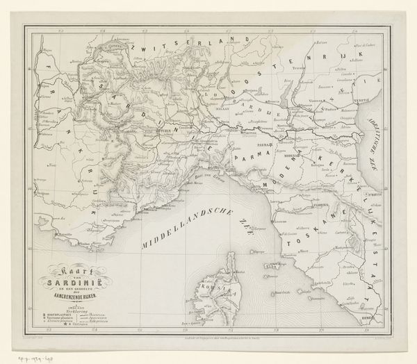
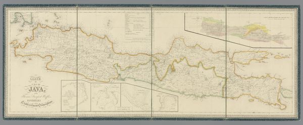
Dimensions: height 633 mm, width 688 mm
Copyright: Rijks Museum: Open Domain
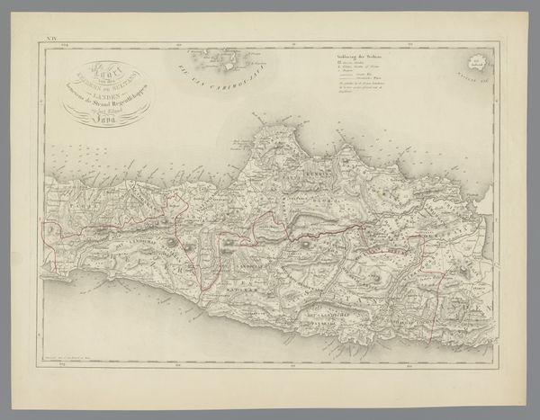
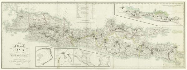
Alfred Bayly created this map of Java during the Java War, which lasted from 1825 to 1830. The map offers a glimpse into the intricate dynamics of colonial conflict and resistance. Bayly, as a cartographer, was involved in shaping and solidifying colonial power through the act of mapping territory. During this time, Java was under Dutch colonial rule, and the war was a major uprising led by Prince Diponegoro against the Dutch. This map served not only as a geographical tool but also as an instrument of power, influencing military strategy. It embodies the complex interplay between knowledge, control, and resistance in a colonial context. The map invites us to consider the many untold stories and perspectives of those who lived through the Java War, and how such representations shape our understanding of historical events. What isn't written on this map?
Comments
No comments
Be the first to comment and join the conversation on the ultimate creative platform.
More like this