print, etching, engraving
#
neoclassicism
# print
#
etching
#
landscape
#
etching
#
engraving
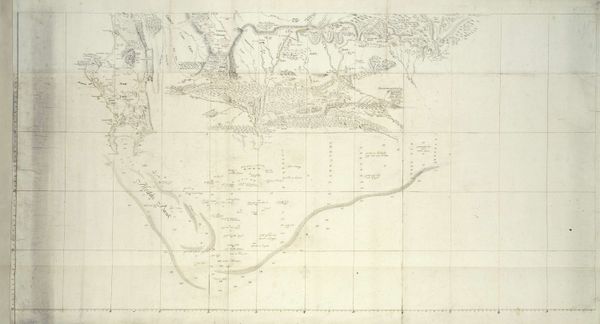
Dimensions: height 967 mm, width 628 mm
Copyright: Rijks Museum: Open Domain
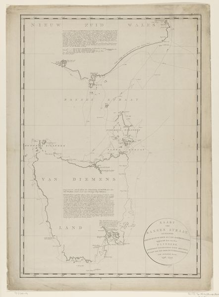
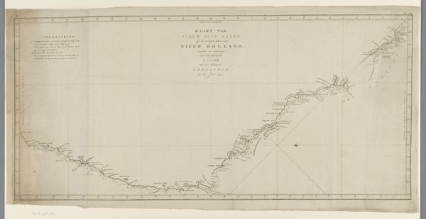
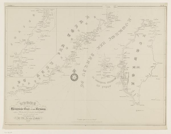
This map of the east coast of Walcheren is an engraving, and presents us with a fascinating interplay of lines and negative space, creating a detailed, almost abstract representation of land and water. The delicate lines defining coastlines, rivers, and settlements invite a close reading of its topography. The map's structure reveals an intriguing tension between objective representation and subjective interpretation. While cartography seeks to provide an accurate depiction of geographical space, the choices made in its rendering—the selection of details, the style of lettering, and the overall composition—inject it with a particular viewpoint. Consider the formal arrangement of textual labels alongside geographical features; these function as signs, directing our understanding of the area and layering cultural meaning onto the physical landscape. In essence, this map is more than a mere navigational tool. It’s a complex layering of signs and codes which reflects not only the geography of Walcheren but also the cultural and intellectual priorities of its time. It invites us to consider how we perceive, categorize, and assign value to the spaces around us.
Comments
No comments
Be the first to comment and join the conversation on the ultimate creative platform.
More like this