drawing, paper, ink
#
drawing
#
paper
#
ink
#
geometric
Dimensions: height 374 mm, width 528 mm
Copyright: Rijks Museum: Open Domain
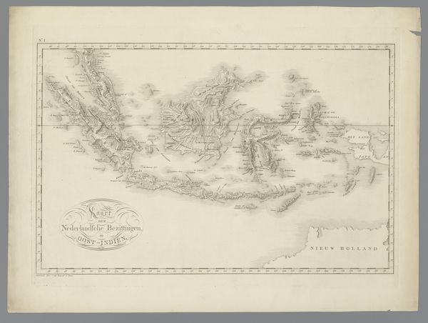
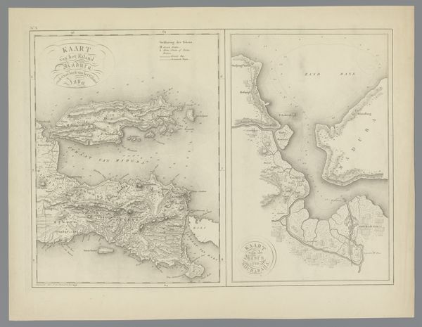
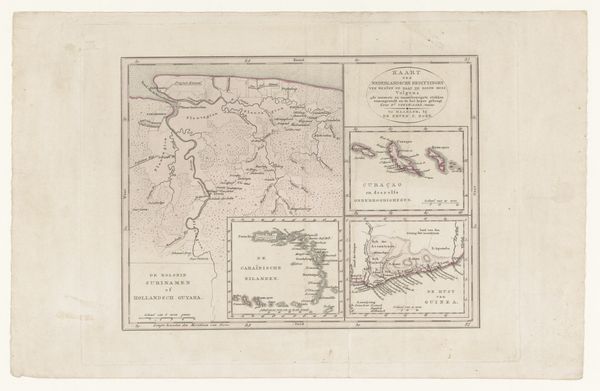
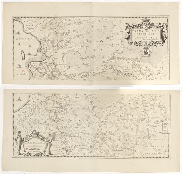
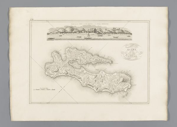
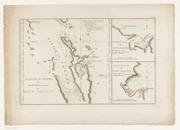
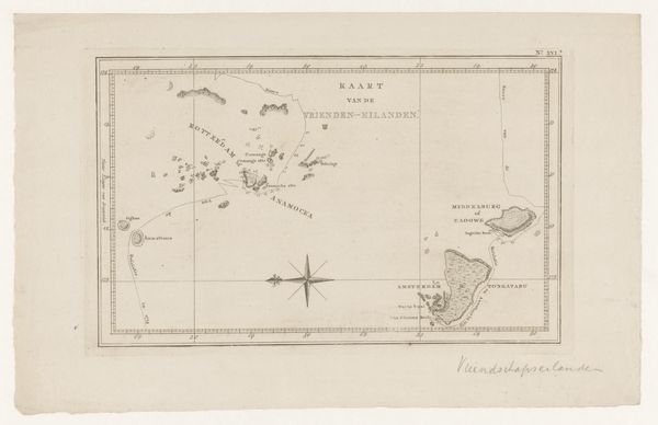
Editor: Here we have an ink drawing from 1818 called "Kaart van Curaçao," made by C. van Baarsel en Zoon. It's on paper, of course, and it strikes me as quite detailed. I'm particularly interested in the fortifications highlighted near Willemstad. What speaks to you when you look at this map? Curator: The map, rendered with ink on paper, presents not just a geographical space, but also a cartographic symbol of power and knowledge. Notice how the rendering of Curaçao, meticulously mapped, implies control and ownership, wouldn't you agree? The strategic placement of fortifications becomes more than just defense; it signifies dominance and colonial assertion, a visible language of subjugation. What are your thoughts on the smaller map inserts included, seemingly as afterthoughts? Editor: Good question! It feels almost like comparing an overview to specifics. Maybe they highlight resources or trading posts to give greater utility? Curator: Precisely. In this image the island’s topology itself transforms into a visual language. Highlighting mountains could imply natural resources or defensive advantage. These are the key indicators which point to power. Are these cultural symbols still resonant today? How have these imposed symbols affected Curaçao’s sense of cultural identity, its collective memory? Editor: That is a good thing to ponder... How historical maps like these still shape perceptions and realities, even subconsciously. Curator: Indeed. And how those original assertions are being grappled with. It reminds us of how images and symbols hold immense power, not just to depict, but to actively construct and perpetuate historical narratives. A drawing on paper, ink frozen in time!
Comments
No comments
Be the first to comment and join the conversation on the ultimate creative platform.
