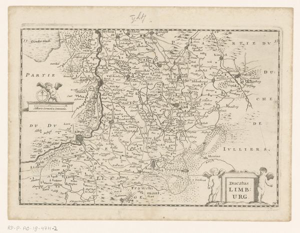
graphic-art, print, etching
#
graphic-art
#
aged paper
# print
#
etching
#
old engraving style
#
etching
#
personal sketchbook
#
pen-ink sketch
#
pen and pencil
#
pen work
#
sketchbook drawing
#
storyboard and sketchbook work
#
sketchbook art
Dimensions: height 535 mm, width 400 mm
Copyright: Rijks Museum: Open Domain
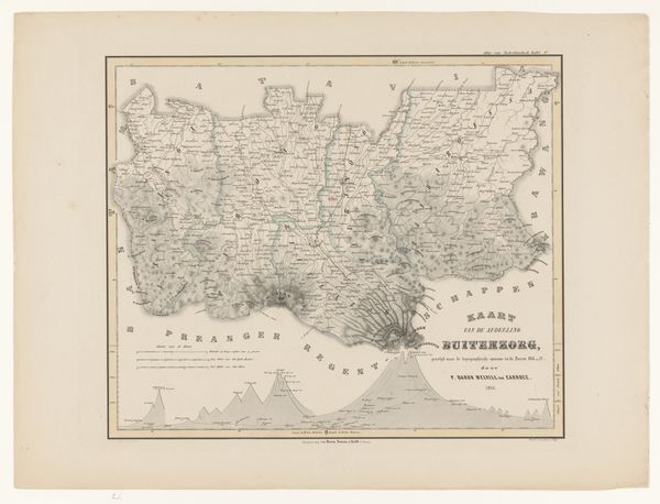
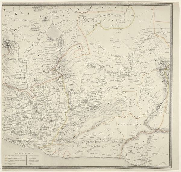
This is F. Cronenberg's map of the Karawang Regency on Java. This map provides a window into the colonial gaze and its impact on Indonesian society. The detailed mapping of the Karawang region reflects the Dutch colonial administration's interest in controlling and exploiting the area's resources. The act of mapping itself was a form of asserting power and claiming ownership over the land and its people. Consider the cultural implications of such a representation. This map served the interests of the colonizers, facilitating governance and resource extraction, while simultaneously erasing Indigenous ways of knowing and relating to the land. The map represents a perspective that prioritizes Western modes of understanding and control. As you observe the geographical details, reflect on the lives and experiences of the local population during this period of colonial rule. Think about the resistance, resilience, and cultural negotiations that occurred within the mapped space. How does this colonial representation reflect societal issues of power, identity, and cultural dominance?
Comments
No comments
Be the first to comment and join the conversation on the ultimate creative platform.
