print, etching, engraving
# print
#
etching
#
old engraving style
#
etching
#
engraving
Dimensions: height 401 mm, width 532 mm
Copyright: Rijks Museum: Open Domain
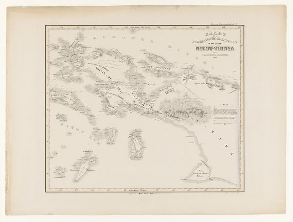
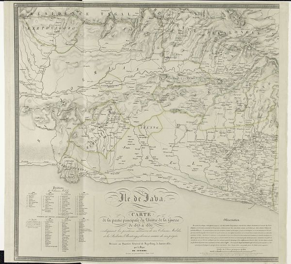
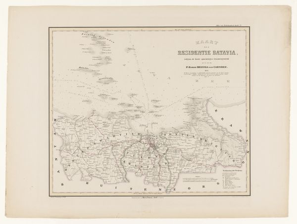
This is a map of the island of New Guinea, made by F. Cronenberg. Though undated, the map’s style and references to Dutch control point to its creation during the period of Dutch colonialism in the East Indies. The visual language of the map is a European one, dividing and naming territories, codifying them for administrative purposes. Note the way this cartographic project could only take place through the institutions of colonial power. How were images like this used back in Europe? What kind of knowledge and power did they represent? Who got to decide on the names and boundaries? These were all very fraught, political questions. To properly understand an image like this, we need to look at the full history of Dutch colonialism, and the role of geographical societies and trading companies in shaping the European vision of the East Indies.
Comments
No comments
Be the first to comment and join the conversation on the ultimate creative platform.
More like this