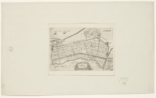
c. 1623 - 1649
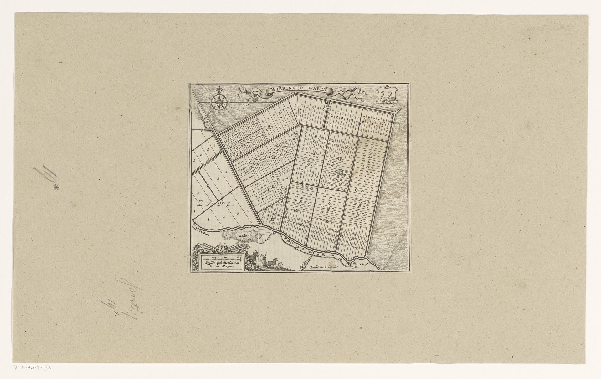
Kaart van de kavels van de Wieringerwaard
Listen to curator's interpretation
Curatorial notes
Gerard Coeck produced this map of the Wieringerwaard plots, with etching, in the 17th century. The Dutch Golden Age witnessed an extraordinary boom in cartography, driven by economic expansion, scientific curiosity, and the practical needs of land management. Coeck’s map offers insight into the values of land ownership and agricultural organization during a period marked by significant social transformations. The Wieringerwaard, a polder reclaimed from the sea, symbolizes the Dutch mastery over water and their relentless pursuit of usable land. Yet, this pursuit raises complex questions. Who benefitted from this reclaimed land? The map, with its ordered plots, speaks to a structured, almost regimented, approach to land distribution, reflecting a society deeply stratified by class. The emotional investment in land as a source of identity and status is palpable. This map not only charts territory, it tells a story of human ambition, societal structure, and the ever-present tension between nature and culture.