drawing, print, engraving
drawing
dutch-golden-age
old engraving style
geometric
line
cityscape
engraving
Dimensions: height 155 mm, width 233 mm
Copyright: Rijks Museum: Open Domain
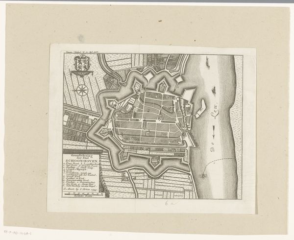
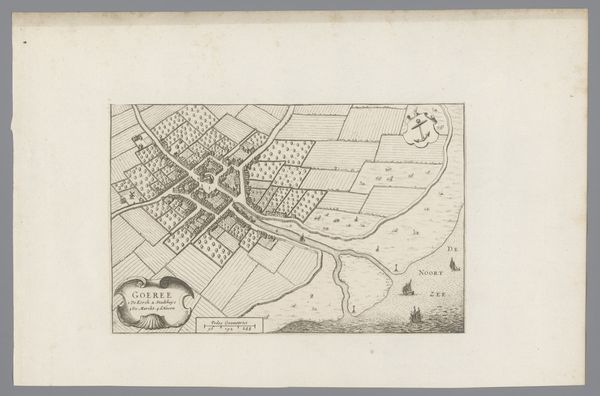
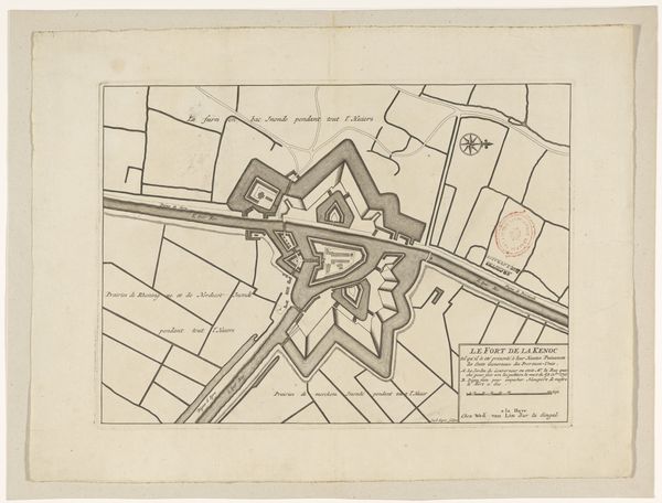
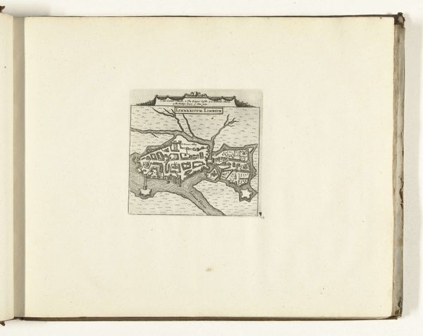
This is an anonymous engraving depicting a map of Schoonhoven, a town in the Netherlands. Looking at this map, we see more than just geographical data; it is a window into the social and political landscape of its time. The meticulous detail given to the fortifications around the city, for example, speaks volumes about the constant threat of invasion and the importance of military defense in the early modern period. The river IJssel, teeming with ships, suggests a vibrant trading culture and the economic importance of Schoonhoven as a port. The presence of a coat of arms reinforces the city's political identity. Without knowing the exact date of this map, it’s difficult to interpret its context. However, with access to local archives, town records, and other historical documents, we can begin to piece together the social and institutional context that shaped its creation. By understanding its purpose, we can see it as more than just a map, but as a cultural artifact embedded in the history of the Netherlands.
Comments
No comments
Be the first to comment and join the conversation on the ultimate creative platform.