drawing, coloured-pencil, paper, ink
#
drawing
#
coloured-pencil
#
baroque
#
paper
#
ink
#
coloured pencil
#
geometric
#
cityscape
#
academic-art
Dimensions: height 213 mm, width 284 mm, height 532 mm, width 318 mm
Copyright: Rijks Museum: Open Domain
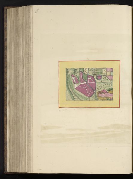
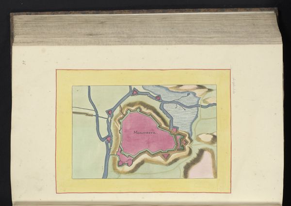
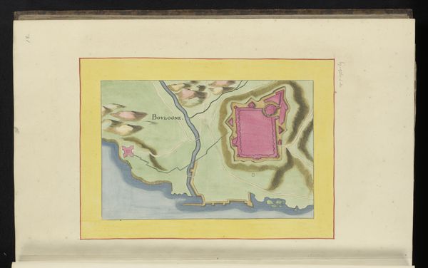
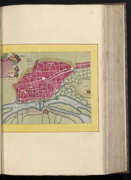
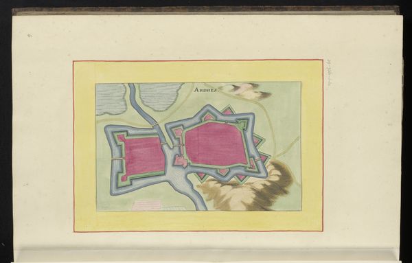
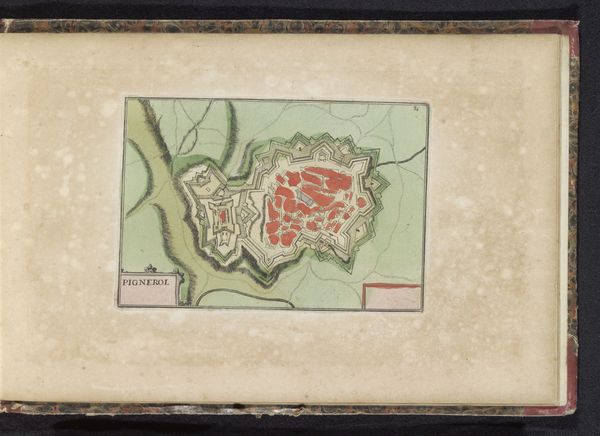
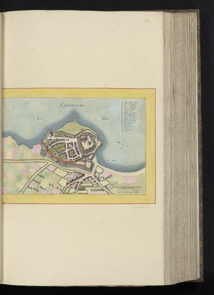
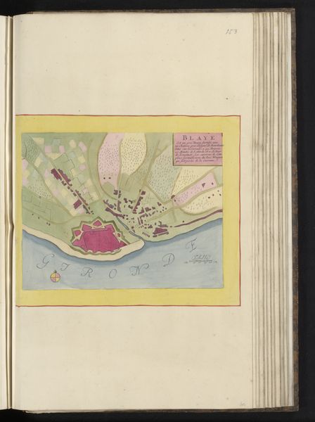
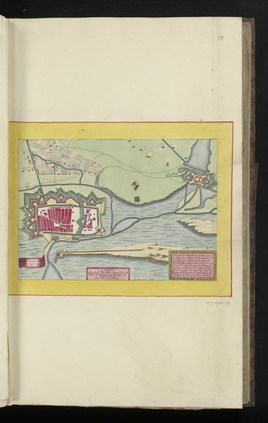
This is an antique map, "Plattegrond van Le Palais op het eiland Belle-Île-en-Mer," whose creator is unknown. The visual arrangement of forms, colors, and lines presents an intriguing interplay of structured space. At first glance, the map shows an architectural fortress. The structural layout immediately invites a semiotic interpretation, particularly how the formal presentation reflects power and control over the geographic landscape. The map's geometric shapes and linear precision create a sense of order, yet the soft, pastel colors hint at the natural environment. The map presents a controlled, constructed vision of the island through its color and structure. The cartographic representation transcends mere geographical depiction. It embodies an assertion of dominance through the very act of mapping. The map challenges our perception by presenting a blend of objective data and subjective interpretation, reflecting broader philosophical questions about the nature of representation and knowledge.
Comments
No comments
Be the first to comment and join the conversation on the ultimate creative platform.
More like this