drawing, watercolor
#
drawing
#
baroque
#
landscape
#
watercolor
#
coloured pencil
#
cityscape
#
watercolour illustration
Dimensions: height 209 mm, width 269 mm, height 532 mm, width 320 mm
Copyright: Rijks Museum: Open Domain
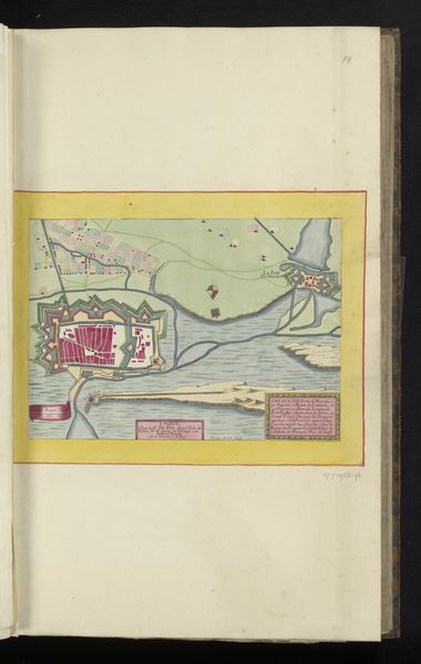
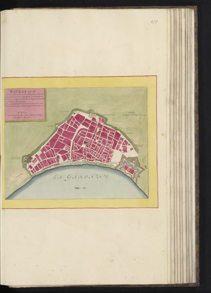
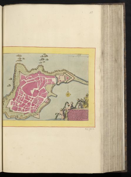
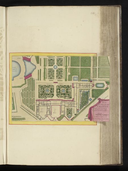
This is an anonymous map of Blaye, precisely drawn with pen and ink and colored with watercolor. The choice of materials here is really interesting, isn't it? A map is essentially a technical drawing, but the artist here has leaned into the tradition of manuscript illumination. Think about the intense labor of creating these pigments, especially the bright pink used for the fortress and the descriptive text box. These pigments were likely created by hand-grinding minerals, demonstrating the skilled work and time involved in their production. There's also the way the map itself would have been used. Likely commissioned by a wealthy patron for military or strategic purposes, the map isn't just a representation of place. It is imbued with social meaning, as it reflects the power dynamics of the time. The meticulous handcrafting elevates the map beyond a simple document, imbuing it with prestige. Considering the materials and processes, we can appreciate how the convergence of craft and cartography enriches our understanding of the artwork. It challenges distinctions between art, craft, and technology, inviting us to consider the social context in which the artwork was produced.
Comments
No comments
Be the first to comment and join the conversation on the ultimate creative platform.
More like this