drawing, paper, watercolor
#
drawing
#
baroque
#
landscape
#
paper
#
watercolor
#
coloured pencil
#
cityscape
#
watercolor
Dimensions: height 185 mm, width 284 mm, height 532 mm, width 319 mm
Copyright: Rijks Museum: Open Domain
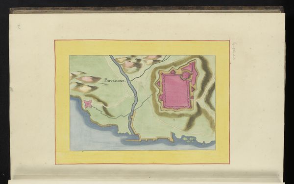
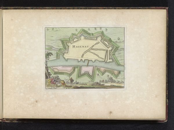
This map of Montreuil, held in the Rijksmuseum, was made anonymously with ink and paint on paper. The work’s material influence on its appearance is clear: the flat, matte quality of the paper allows for sharp lines and precise details, essential for cartography. The map would have been made by hand, slowly building up layers of color to create the terrain and fortifications around the town. Given the repetitive and meticulous nature of this process, it's likely that the mapmaker was part of a workshop or employed as a skilled artisan. They would have acquired knowledge of technical drawing, perspective, and calligraphy over many years. The bright color palette and precise execution elevate the work beyond mere utility, speaking to a wider cultural appreciation for both scientific accuracy and aesthetic refinement. By examining the materials and making processes, we can begin to understand the social and cultural values embedded in this seemingly straightforward representation of a place.
Comments
No comments
Be the first to comment and join the conversation on the ultimate creative platform.
More like this