drawing, paper, watercolor
#
drawing
#
water colours
#
landscape
#
paper
#
watercolor
#
coloured pencil
Dimensions: height 116 mm, width 167 mm
Copyright: Rijks Museum: Open Domain
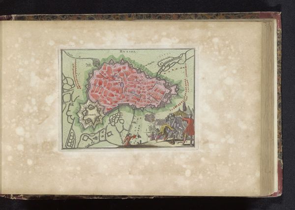
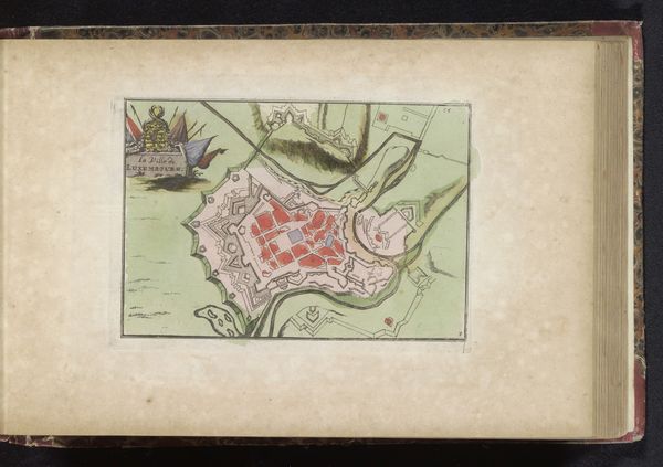
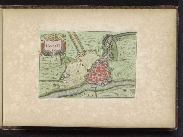
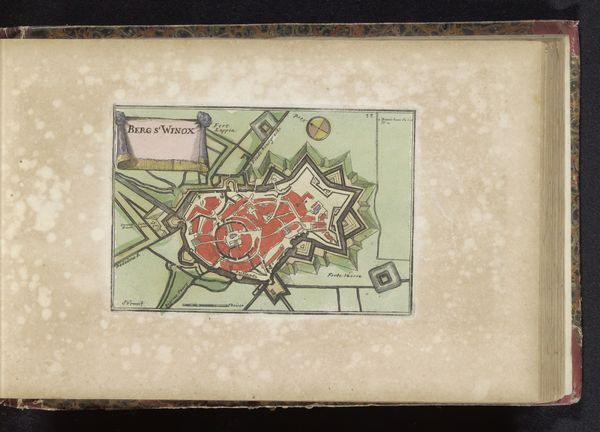
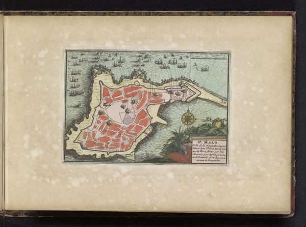
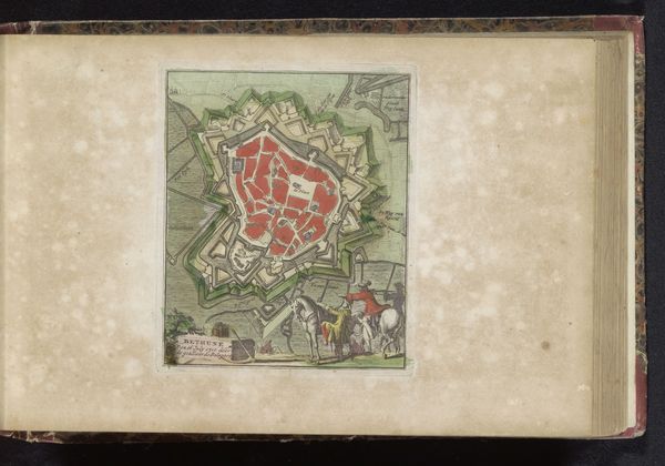
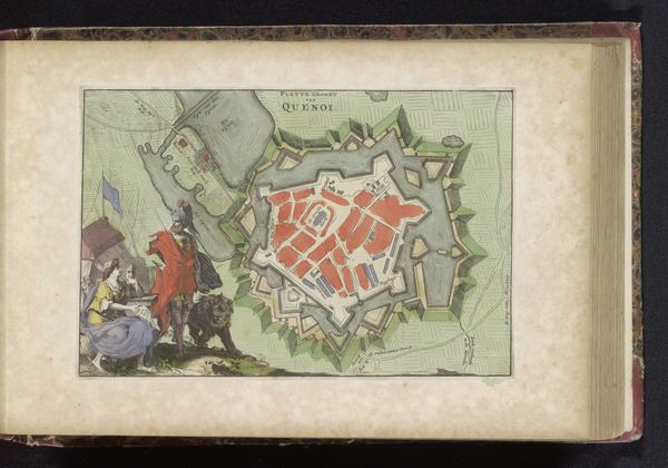
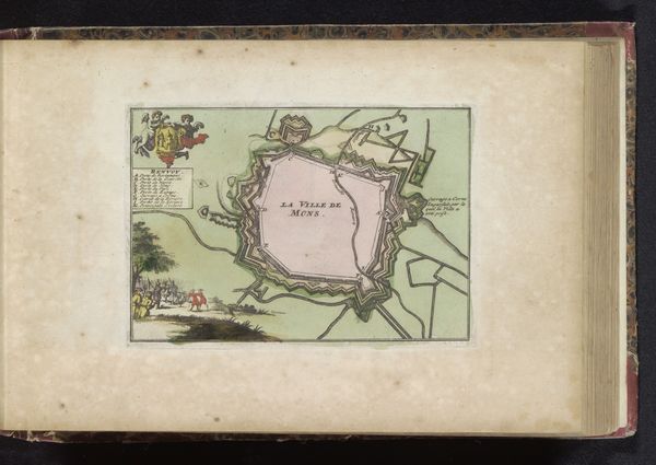
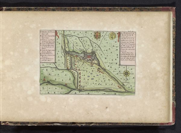
Editor: So, this is an anonymous drawing titled "Plattegrond van Pinerolo," created sometime between 1700 and 1735. It's watercolor on paper, a kind of bird's-eye view. I’m immediately struck by how meticulously the town's fortifications are rendered. What story do you think this piece tells? Curator: This plattegrond speaks volumes about the political landscape of the early 18th century. Pinerolo, now Pinerolo in Italy, had a strategic position near the French border. The fortifications, depicted so prominently, were of great importance, shifting from French to Savoyard control during wars and treaties. It was crucial for military control of trade routes, and to monitor armies travelling in and out of Northern Italy and France. This drawing would likely have been commissioned for military planning, maybe propaganda? Editor: Propaganda? I wouldn't have thought of that! Curator: Absolutely! These detailed maps not only served a practical purpose but also projected power. The act of mapping and visually representing control can influence public perception and solidify claims. How might such a map be received in different European courts, or by ordinary citizens? Editor: That's fascinating. It almost seems like the act of creating the map was a power play in itself, beyond its purely informational value. Do you see anything else in the coloring or style that points to the intention of the artist? Curator: The choice of watercolor allows for detailed rendering but lacks the permanence of, say, oil paint. The focus on functional detail over expressive brushwork tells us more about practical documentation than artistic statement. It really emphasizes the socio-political function. Editor: I never considered the medium itself having a political implication! This conversation has shifted my perception entirely; I’m not just seeing a map, but a snapshot of power dynamics. Curator: Exactly. It shows us that even seemingly objective representations are embedded with political and social meaning. We should be asking not only *what* is depicted, but *why* and *for whom.*
Comments
No comments
Be the first to comment and join the conversation on the ultimate creative platform.
More like this