painting, watercolor
#
water colours
#
baroque
#
painting
#
landscape
#
watercolor
#
geometric
#
cityscape
#
watercolor
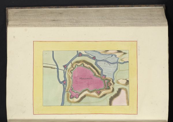
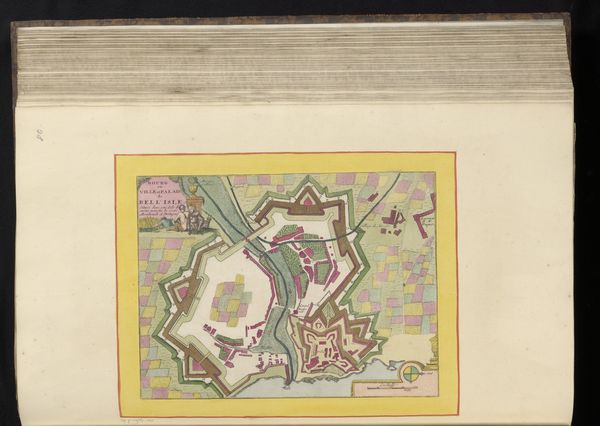
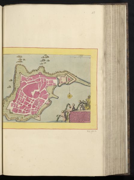
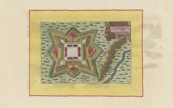
Dimensions: height 186 mm, width 283 mm, height 532 mm, width 320 mm
Copyright: Rijks Museum: Open Domain
This is a vestingplattegrond of Boulogne, an anonymous work at the Rijksmuseum, its date unknown. Dominating the plan is the city’s fortification, represented in a striking, unnatural pink, and set against the natural greens and blues of the surrounding landscape. The fortification is an ancient symbol of power and protection, echoing the walls of Jericho or the fortresses of medieval Europe. This motif recurs throughout history, evolving from physical barriers to symbolic assertions of dominance, like the Great Wall of China, each reflecting humanity's collective desire for security. Here, the stark contrast between the man-made fortifications and the natural world strikes a chord deep within our cultural memory. It is a visual representation of control and order imposed upon the unpredictable forces of nature, stirring complex emotions connected to our primal instincts. The map as a whole serves as a poignant reminder of our enduring struggle to shape and protect our world.
Comments
No comments
Be the first to comment and join the conversation on the ultimate creative platform.
More like this