drawing, print, paper, watercolor, ink
#
drawing
#
baroque
# print
#
landscape
#
paper
#
watercolor
#
ink
#
coloured pencil
#
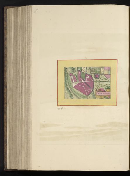
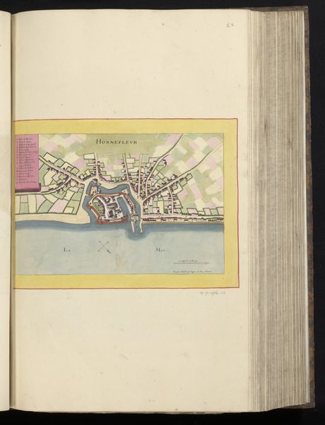
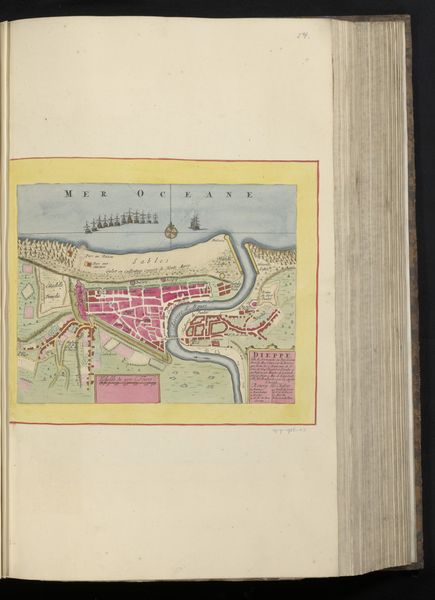
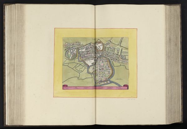
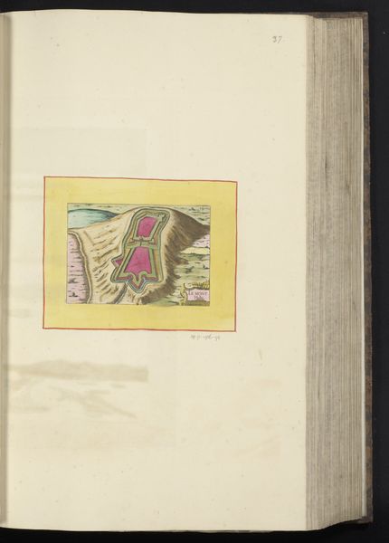
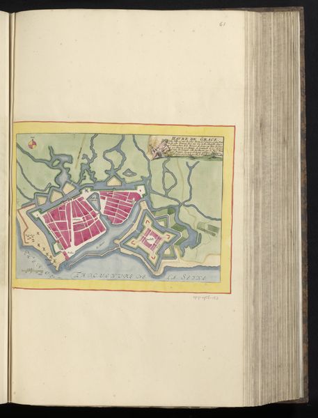
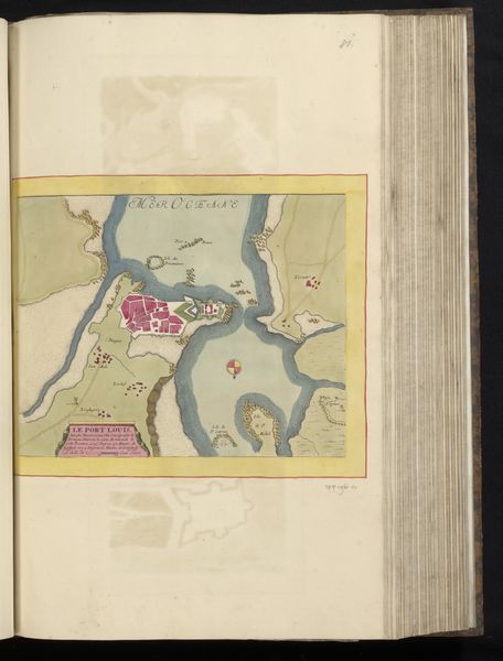
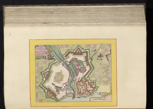
cityscape
Dimensions: height 225 mm, width 292 mm, height 532 mm, width 318 mm
Copyright: Rijks Museum: Open Domain
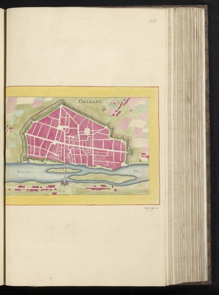
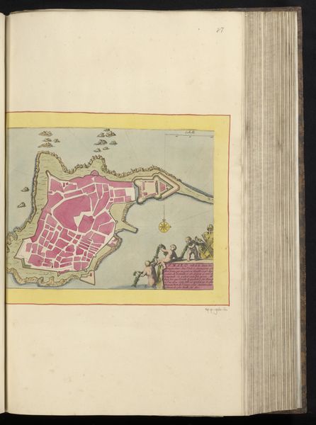
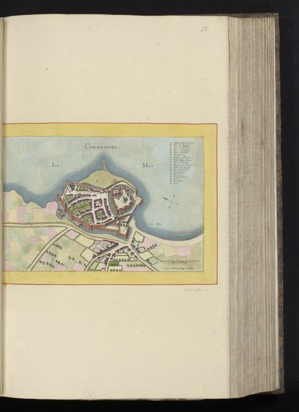
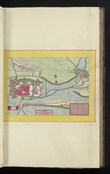
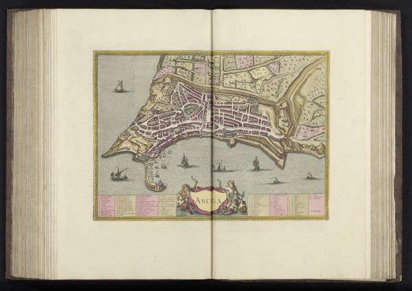
This is an anonymous, undated map of Rouen, France. The map presents a bird's eye view of the city, with detailed depictions of buildings, streets, and the river Seine. Maps like this reflect a specific kind of historical power. During the early modern period, the ability to chart and visualize territory was crucial for administrative control and military strategy. Here, the gridded layout of the city and the river— essential for trade and transport—are rendered with great precision. But who was this precision for? And what does it mean that the name of its maker has been lost to history? Consider the act of mapping itself— the selective rendering of reality. This map isn't just a neutral representation; it's an interpretation that asserts control over the depicted space. It invites us to think about the relationship between knowledge, power, and perspective. How does seeing a place from above change our understanding of it? The emotional weight of this piece lies in its very anonymity; it’s an invitation to contemplate how places, like identities, are shaped by both visibility and erasure.
Comments
No comments
Be the first to comment and join the conversation on the ultimate creative platform.
More like this