drawing, paper, watercolor
#
drawing
#
baroque
#
landscape
#
paper
#
watercolor
#
coloured pencil
#
cityscape
#
watercolor
Dimensions: height 198 mm, width 277 mm, height 532 mm, width 320 mm
Copyright: Rijks Museum: Open Domain
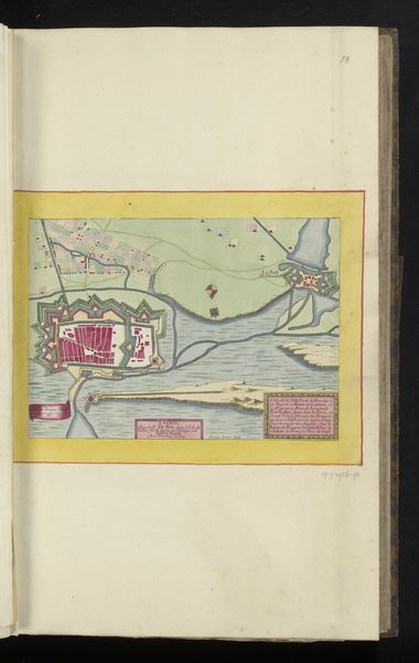
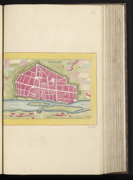
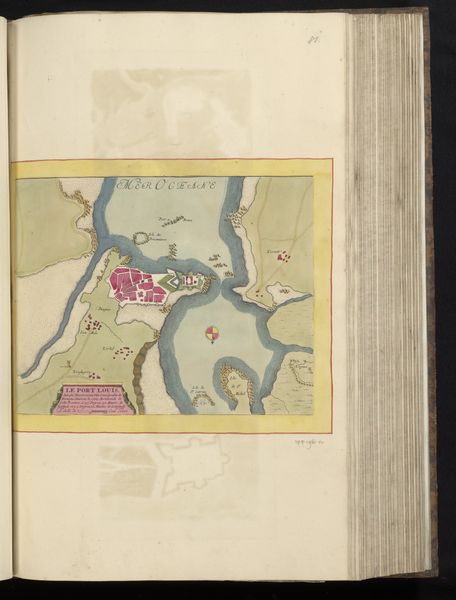
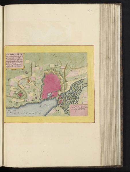
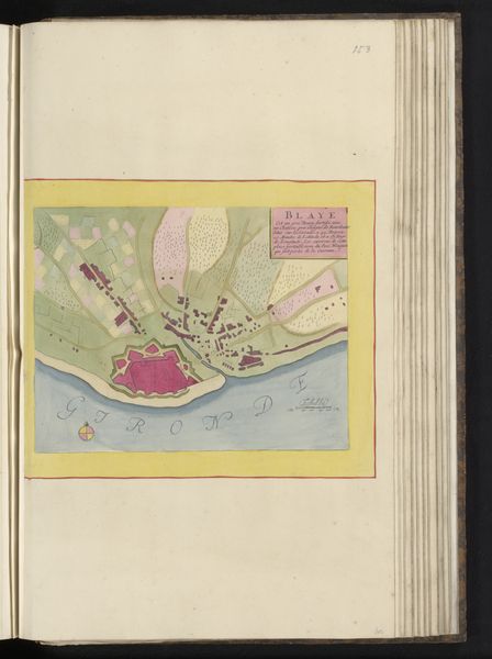
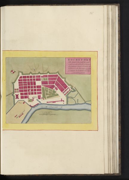
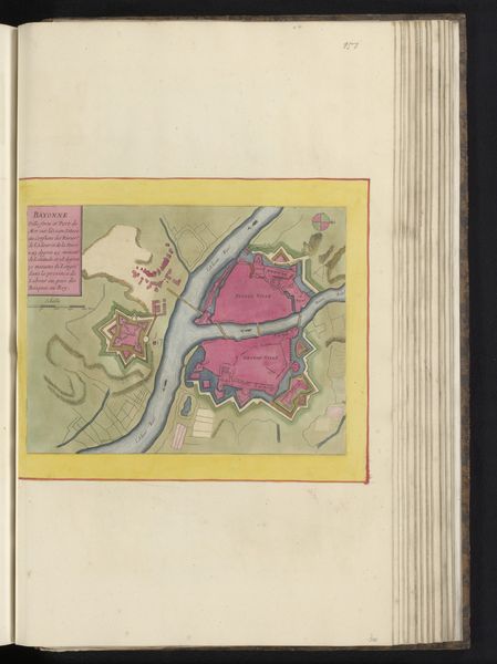
Curator: Welcome. Before us is an artwork titled “Plattegrond van Brest,” which translates to "Map of Brest," a drawing held at the Rijksmuseum, made sometime between 1690 and 1702. It seems to be executed in watercolor on paper. Editor: My first impression is of an almost surgical precision in its rendering. The rigid geometric blocks of the city in vibrant pinks contrasted by the organic curves of the waterway. It’s a fascinating dichotomy. Curator: Indeed. Cityscapes like this, especially during this Baroque period, often represent not just geography but power, order, and control. The artist’s choice of a bird's-eye view asserts a certain dominion. The color palette isn't quite naturalistic; Brest likely didn’t have pink buildings, but color here carries symbolic weight, perhaps denoting importance or a specific function. Editor: That formal rigidity you mentioned certainly contributes to a sense of imposing structure. Note also how the jagged lines of the fortification wall contrast with the flowing river. Semiotically, we might read that as a civilization/nature binary—one attempting to subdue the other. The artist uses these formal qualities to build that impression. Curator: I find that convincing. And further, those fortifications remind us that Brest was—and still is—a crucial naval port. In the context of 17th and 18th-century European geopolitics, representing Brest means asserting naval and military strength. Notice the armorial bearings emblazoned to the left – a powerful signal in its own right. The coat of arms and flags signal both sovereign authority and Brest's perceived importance within that power structure. Editor: Consider how the watercolor medium itself plays a role. Its translucent quality imparts an ephemeral quality to the scene, suggesting perhaps that even the strongest fortifications, the most meticulously planned cities, are ultimately subject to time and change. Curator: That's a lovely point. It emphasizes the inherent transience even in something that seemingly represents permanence, as architecture does. It invites us to meditate on both ambition and the inevitable passing of time. Editor: So, from a formal study highlighting compositional structure, to an art history reading concerned with symbolism, it offers a nuanced portrayal. Thank you for shedding light on both symbolic function and the construction of such meanings within it. Curator: And thank you, it has been helpful to contemplate that what we see is not just the visual details, but echoes of societal and historical meaning embedded within its artistic rendering.
Comments
No comments
Be the first to comment and join the conversation on the ultimate creative platform.
More like this