drawing, watercolor
#
drawing
#
landscape
#
watercolor
#
coloured pencil
#
cityscape
#
watercolour illustration
Dimensions: height 187 mm, width 284 mm, height 532 mm, width 318 mm
Copyright: Rijks Museum: Open Domain
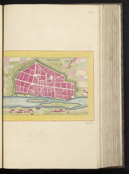
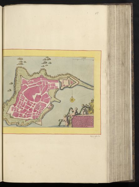
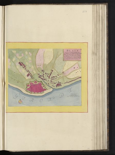
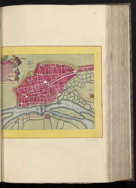
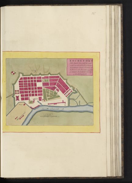
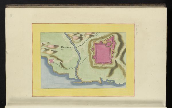
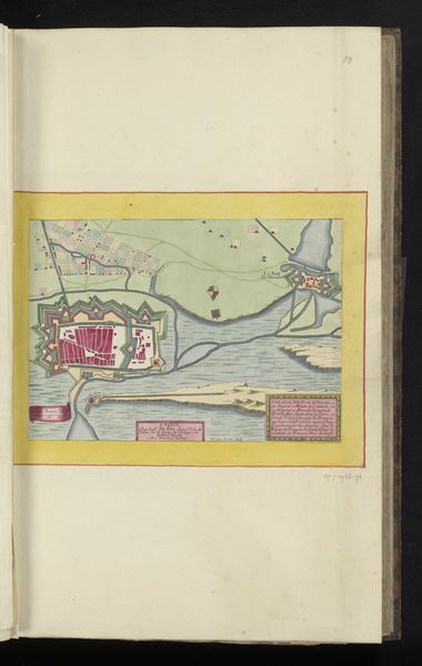
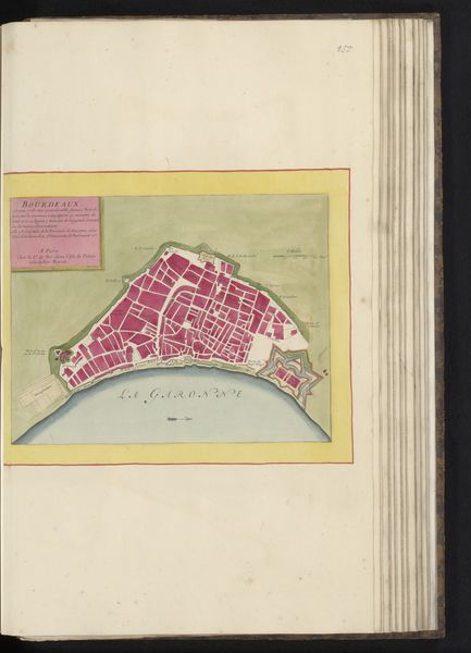
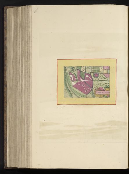
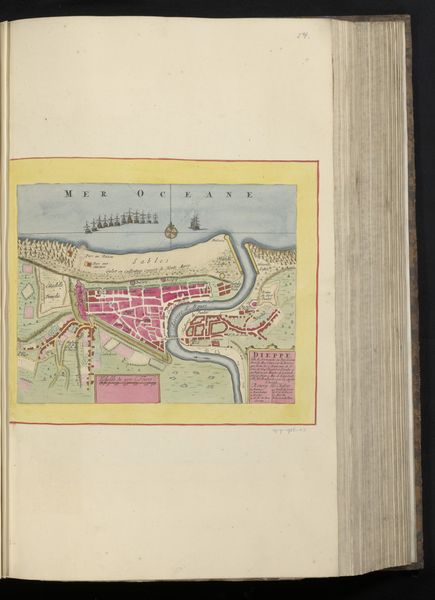
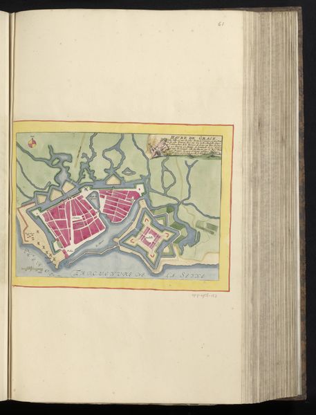
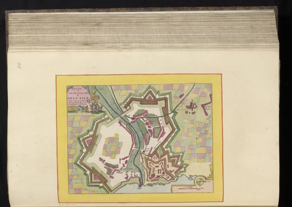
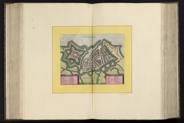
This is an anonymous map of Cherbourg, a port city in Normandy, France. The identity of the artist remains a mystery, inviting speculation about their positionality and purpose. Historically, cartography has been deeply intertwined with power, often used to claim territories, chart trade routes, and exert control over landscapes and their inhabitants. This map offers a bird’s eye view of Cherbourg, its architecture neatly rendered and labeled, surrounded by protective walls and sea. The city is presented as an organized, almost utopian space. Yet, what stories do such maps conceal? Whose perspectives are silenced in this seemingly objective representation? Who was allowed to move freely within these mapped spaces, and who was excluded? Consider the indigenous populations whose lands were often erased or misrepresented in the process of colonial mapping. What underlying narratives of colonialism, trade, or military strategy are embedded within the lines and colors of this map? How does this map shape our understanding of space, and what are the political implications of such representations?
Comments
No comments
Be the first to comment and join the conversation on the ultimate creative platform.
More like this