painting, watercolor
#
water colours
#
baroque
#
painting
#
landscape
#
watercolor
#
watercolor
Dimensions: height 177 mm, width 281 mm, height 532 mm, width 320 mm
Copyright: Rijks Museum: Open Domain
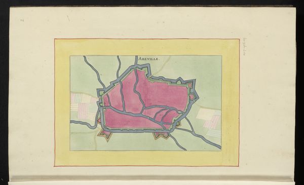
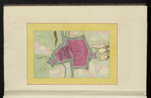
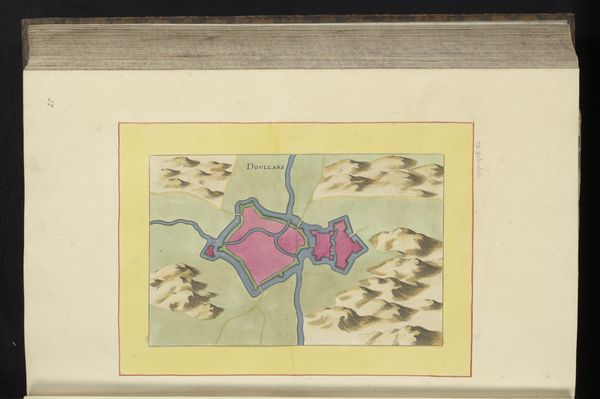
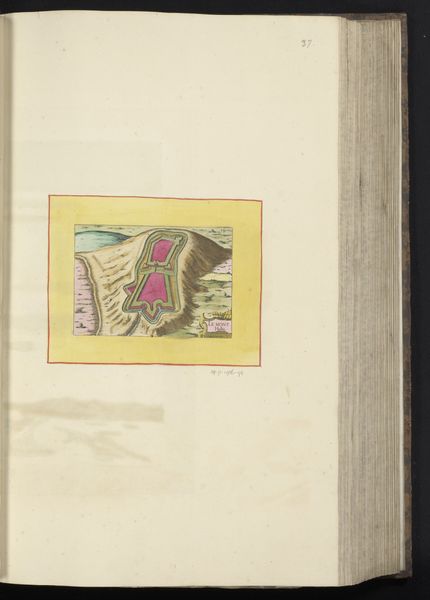
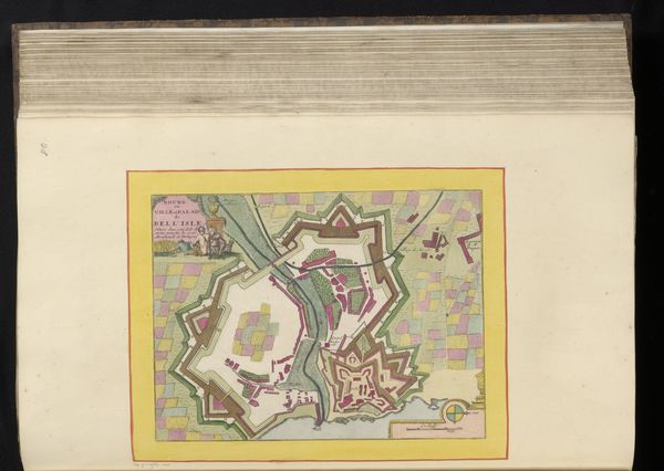
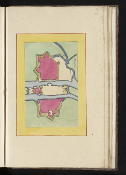
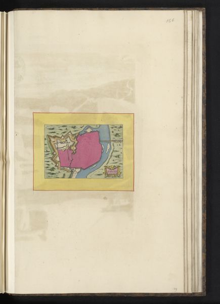
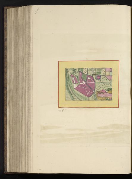
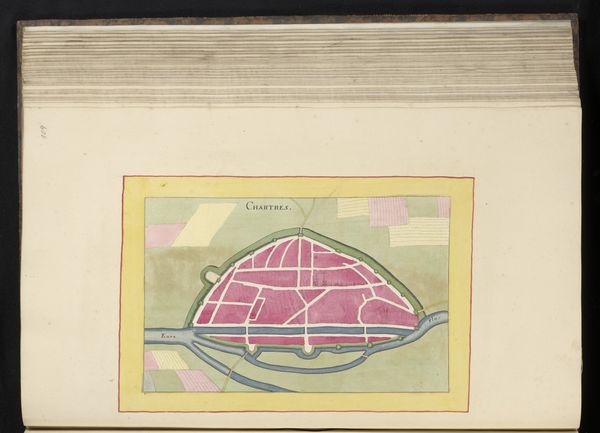
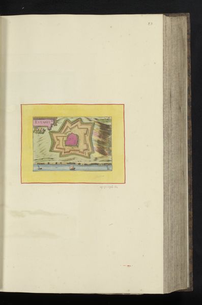
Editor: This is "Vestingplattegrond van Ardres," or "Fortification Plan of Ardres," made in 1656 by an anonymous artist. It's a watercolor painting currently held at the Rijksmuseum. It strikes me as quite peculiar; it resembles something between a landscape painting and an architectural plan. What's your read on this artwork? Curator: It’s fascinating how a seemingly straightforward map reveals the intricate relationship between power, knowledge, and artistic expression in the 17th century. Fortification plans like these were crucial tools of statecraft. The almost whimsical rendering is not about aesthetics, but about military advantage and social control. Editor: So, it's not art for art's sake? Curator: Precisely! This wasn't hanging in someone's parlor. This image allowed rulers to visualize and strategize, to project power but also to impress. The details—the angles of the bastions, the rendering of the waterways – served as both visual data and propaganda. What effect did these colours have, I wonder? Was it intended to inspire hope, wealth, trust, or safety, during times of war? Editor: I see your point! So the artist is serving the interests of the state here? Curator: Exactly. Artists became essential in shaping public perception of power through these kinds of plans. Editor: Wow, I never thought of maps as tools of power like that. Curator: Thinking about art as connected to power, beyond beauty alone, helps us understand its role in society and history. Editor: Absolutely, this puts the artwork in a whole new context for me. Thanks!
Comments
No comments
Be the first to comment and join the conversation on the ultimate creative platform.
More like this