drawing, watercolor, pen
#
drawing
#
baroque
#
landscape
#
watercolor
#
coloured pencil
#
pen
#
cityscape
Dimensions: height 211 mm, width 268 mm, height 532 mm, width 318 mm
Copyright: Rijks Museum: Open Domain
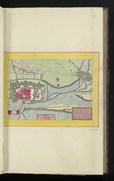
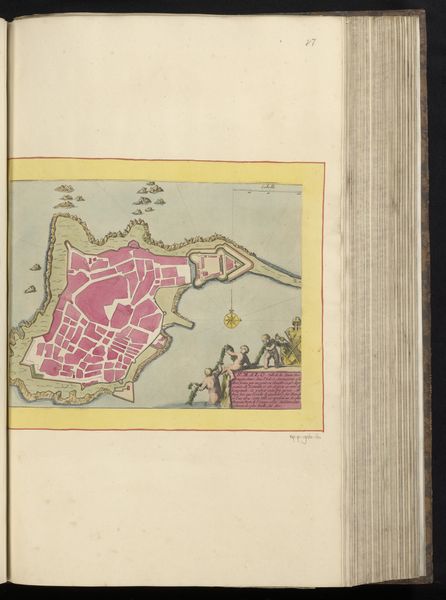
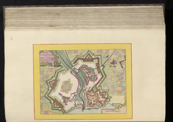
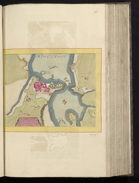
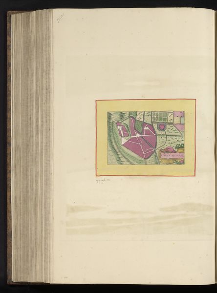
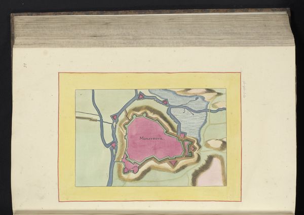
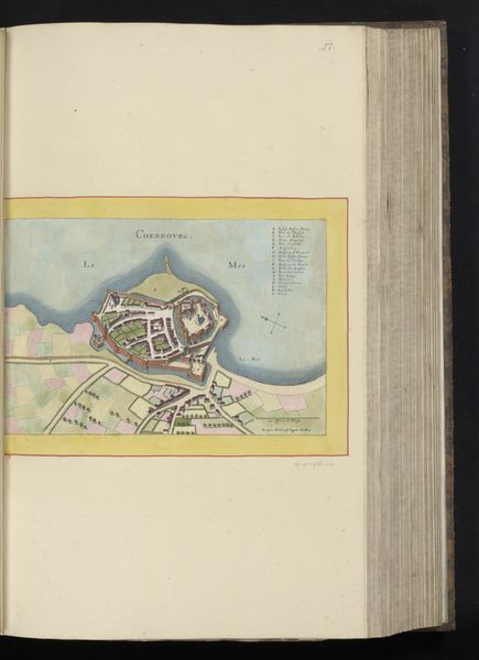
This is a handmade map of Abbeville, made with pen and watercolour by an anonymous artist. It pictures a town in northern France, fortified with star-shaped walls. Towns like Abbeville existed within systems of power and competition. Their walls were designed to defend against invaders. The map itself was a tool to aid military strategists or display civic pride. Maps can serve as propaganda, influencing viewers to see a town in a certain way. To understand this image more fully, we need to know who commissioned it, who it was for, and what purposes it served. Perhaps, in local archives, we would find letters or documents that reveal the circumstances of its making and give us a glimpse into the political and social world of Abbeville. By examining such historical sources, we begin to appreciate how this image reflects the complex world in which it was created.
Comments
No comments
Be the first to comment and join the conversation on the ultimate creative platform.
More like this