About this artwork
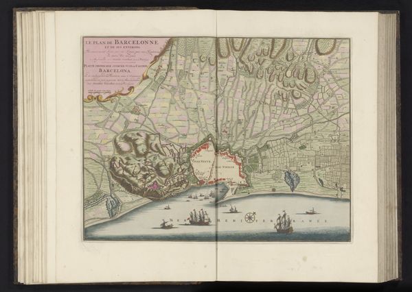
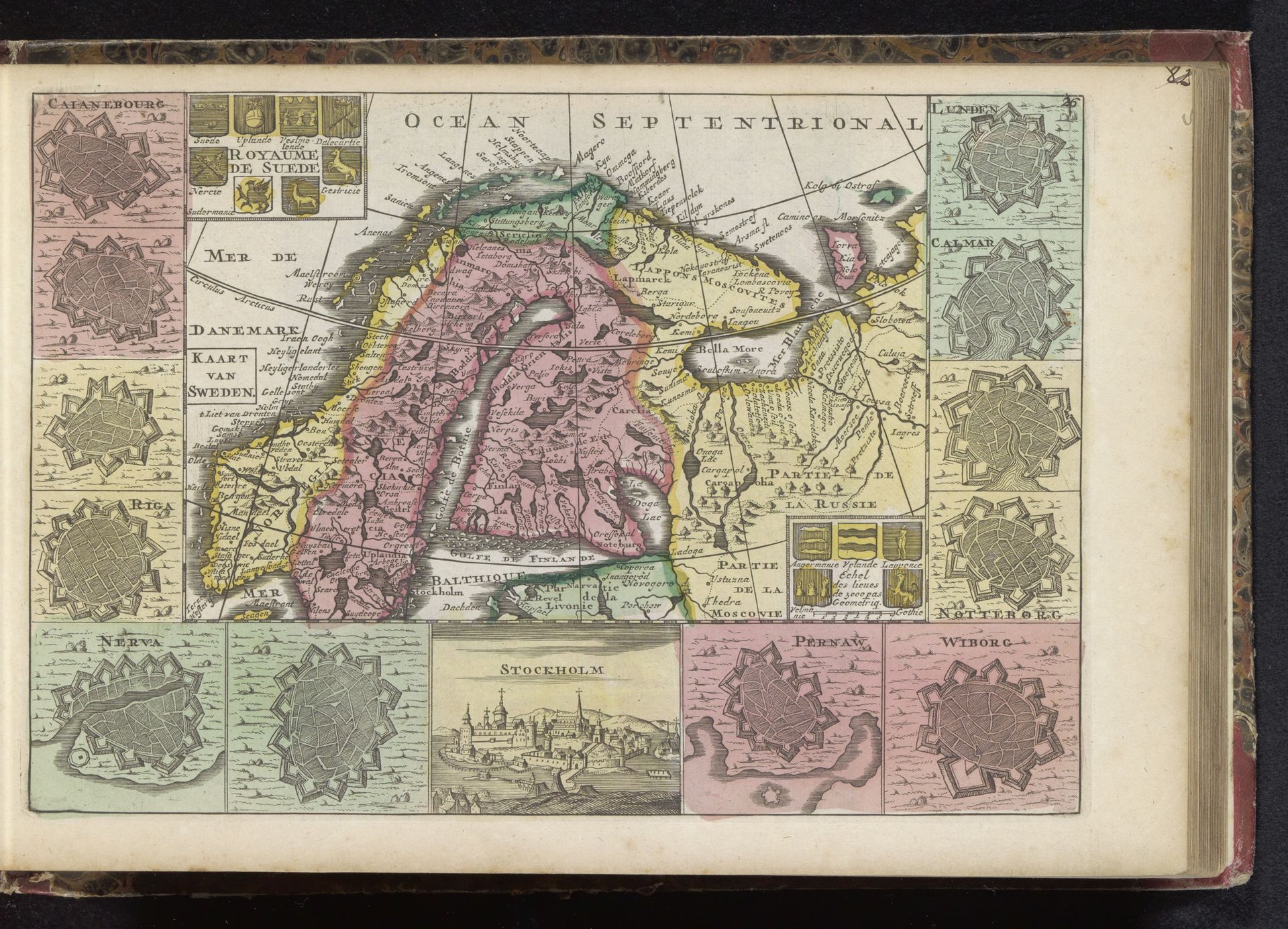
Curator: This is a rather striking piece; an early 18th-century engraving titled "Kaart van Zweden"—"Map of Sweden" in English. I find its composition quite… theatrical, don't you? Like a stage set for a grand, perhaps slightly melancholic, Nordic drama. Editor: It’s definitely commanding, almost overwhelmingly so. The baroque style lends itself to that intensity, doesn't it? All those little cityscape vignettes crowding around the central map... What are those structures on the borders exactly? Curator: Those are indeed vignettes of cities, quite charming actually—depictions of places like Riga and Stockholm—but you're right, they do fence in the geographical representation of Sweden itself. I get the impression of power consolidated, but somehow also of vulnerability, surrounded as it is by potentially hostile forces or watchful neighbors. Editor: I see what you mean. All the small engravings could also serve to represent the materials involved to print this "Kaart van Zweden." Paper and ink became instruments to disseminate narratives around authority. Curator: Precisely, which leads me to consider this print as an intriguing dance between knowledge, power, and… a whisper of the unknown. Even with this seemingly comprehensive cartography, there’s still something beyond the edges that flickers in my imagination, something… elemental. Editor: Right, though I would note that the "elemental" aspect could be re-understood by the simple means and work used to elaborate the work: through the engraver's labor and the networks of distribution, we grasp a deeper story here, rooted not in pure aesthetics but in tangible effort. Curator: A necessary perspective. I'm seeing the cartographer now less as a recorder and more as… a director. Orchestrating a drama, a visual power play, for consumption by whomever could afford the privilege. Editor: So it's a window, yes, but one with a price tag clearly stamped on the glass. Curator: Exactly, and a reflection too. This map reveals less about the land itself than about the people who desired to own its image and perhaps even its reality. Thanks to your points about materiality and labor we understand a story rooted in effort!
Artwork details
- Medium
- print, engraving
- Dimensions
- height 181 mm, width 264 mm
- Copyright
- Rijks Museum: Open Domain
Tags
baroque
landscape
cityscape
engraving
Comments
Be the first to share your thoughts about this work.
About this artwork
Curator: This is a rather striking piece; an early 18th-century engraving titled "Kaart van Zweden"—"Map of Sweden" in English. I find its composition quite… theatrical, don't you? Like a stage set for a grand, perhaps slightly melancholic, Nordic drama. Editor: It’s definitely commanding, almost overwhelmingly so. The baroque style lends itself to that intensity, doesn't it? All those little cityscape vignettes crowding around the central map... What are those structures on the borders exactly? Curator: Those are indeed vignettes of cities, quite charming actually—depictions of places like Riga and Stockholm—but you're right, they do fence in the geographical representation of Sweden itself. I get the impression of power consolidated, but somehow also of vulnerability, surrounded as it is by potentially hostile forces or watchful neighbors. Editor: I see what you mean. All the small engravings could also serve to represent the materials involved to print this "Kaart van Zweden." Paper and ink became instruments to disseminate narratives around authority. Curator: Precisely, which leads me to consider this print as an intriguing dance between knowledge, power, and… a whisper of the unknown. Even with this seemingly comprehensive cartography, there’s still something beyond the edges that flickers in my imagination, something… elemental. Editor: Right, though I would note that the "elemental" aspect could be re-understood by the simple means and work used to elaborate the work: through the engraver's labor and the networks of distribution, we grasp a deeper story here, rooted not in pure aesthetics but in tangible effort. Curator: A necessary perspective. I'm seeing the cartographer now less as a recorder and more as… a director. Orchestrating a drama, a visual power play, for consumption by whomever could afford the privilege. Editor: So it's a window, yes, but one with a price tag clearly stamped on the glass. Curator: Exactly, and a reflection too. This map reveals less about the land itself than about the people who desired to own its image and perhaps even its reality. Thanks to your points about materiality and labor we understand a story rooted in effort!
Comments
Be the first to share your thoughts about this work.