graphic-art, print, engraving
#
graphic-art
#
dutch-golden-age
# print
#
landscape
#
engraving
Dimensions: height 383 mm, width 497 mm
Copyright: Rijks Museum: Open Domain
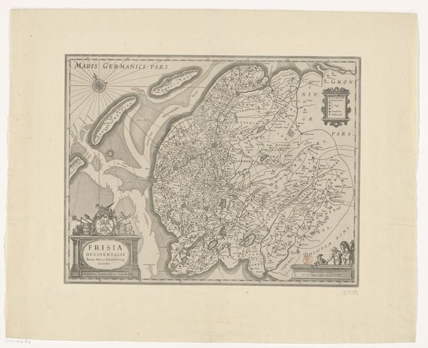
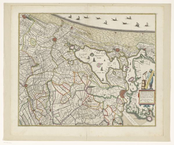
This is an undated map of Friesland, Vlieland, Terschelling, and Ameland, made anonymously. In its time, this map offered viewers not just a geographical representation, but also a projection of power and knowledge. Made in the Dutch Republic, the map reflects the economic and political interests of the region, particularly its maritime activities and territorial claims. Cartography was not just about accuracy; it was a tool used by the state and merchant classes to navigate and control their world. Notice the visual codes used: the detailed coastlines for navigation and the strategic placement of place names and boundaries. Research into the period's historical atlases, trade records, and political documents can reveal the map's role in shaping the region's identity and its place in European power dynamics. By examining this map through a social and institutional lens, we can understand the ways in which knowledge, power, and art intersect in the historical record.
Comments
No comments
Be the first to comment and join the conversation on the ultimate creative platform.
More like this