drawing, print, paper, engraving
#
drawing
#
dutch-golden-age
# print
#
landscape
#
paper
#
geometric
#
line
#
engraving
Dimensions: height 567 mm, width 1853 mm
Copyright: Rijks Museum: Open Domain
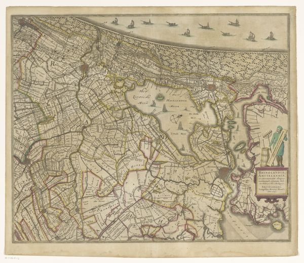
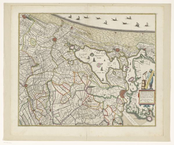
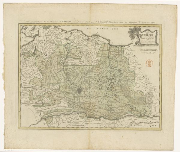
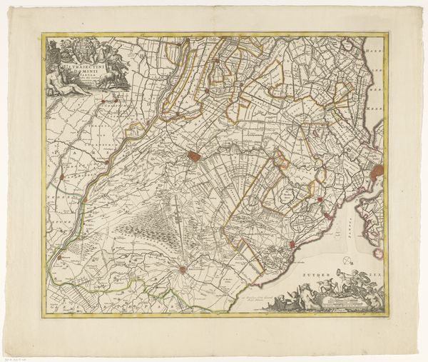
This is the upper section of a map of the province of Utrecht, made by Thomas Doesburgh. It is printed on paper, using engraving and letterpress techniques. The lines were etched into a metal plate, which was then inked and pressed onto the paper to leave a permanent impression. Look closely, and you can see the fine detail achieved through this process. The very act of mapping transforms physical space into a commodity. Every line and carefully labeled location contributes to the claim, that this land can be known, measured, and ultimately owned. Consider the labor involved in creating such a detailed record. The engraver's skill, the printer's precision, and the cartographer's knowledge were all essential to the map's production. The work reflects the rise of early capitalism, where land was seen as a resource to be exploited and controlled. The map is not just a representation, it's an assertion of power.
Comments
No comments
Be the first to comment and join the conversation on the ultimate creative platform.
More like this