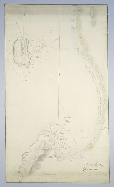
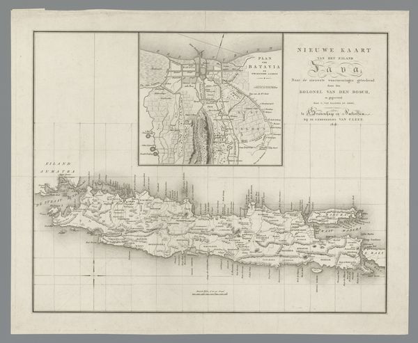
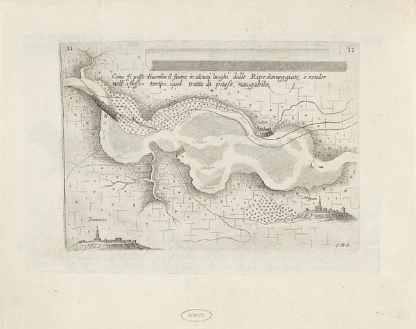
drawing, print, paper, ink, pencil, engraving
#
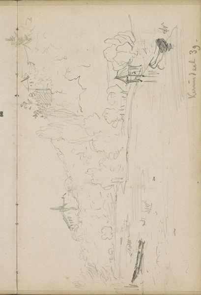
drawing
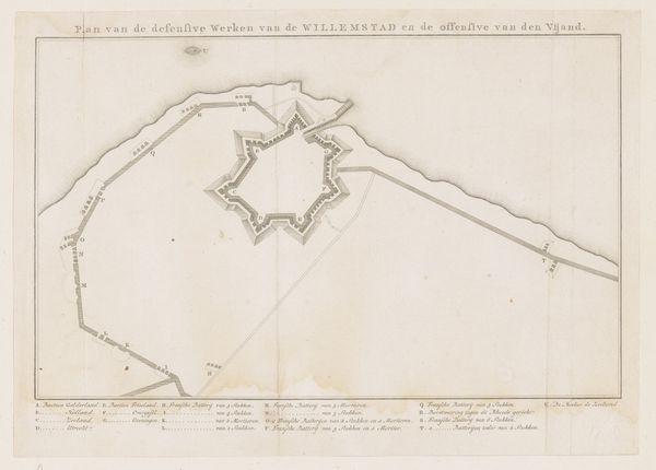
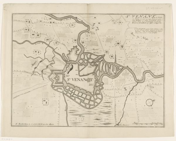
# print
#
landscape
#
paper
#
ink
#
geometric
#
pencil
#
cityscape
#
academic-art
#
engraving
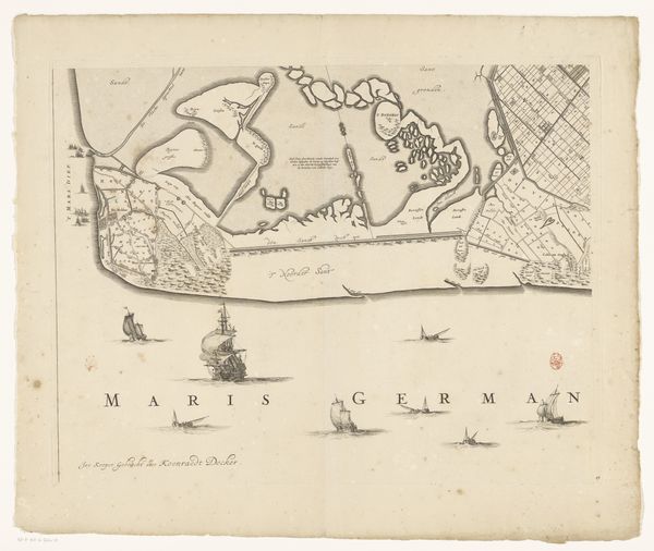
Dimensions: height 953 mm, width 650 mm
Copyright: Rijks Museum: Open Domain
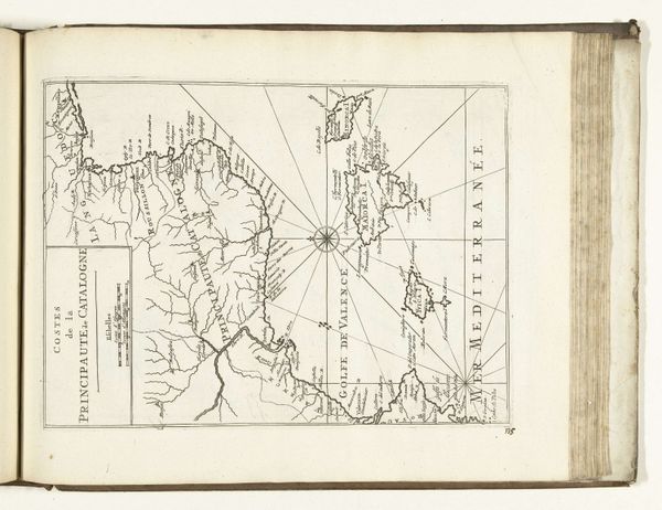
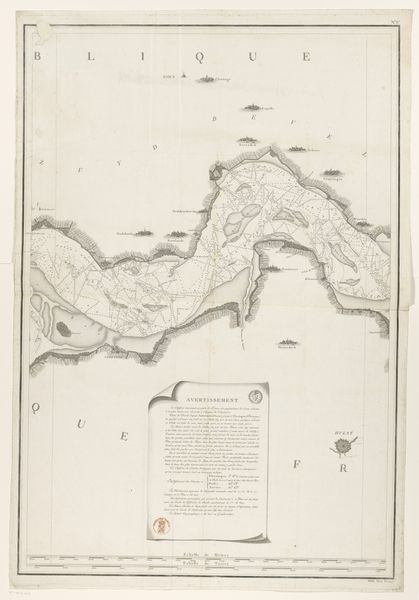
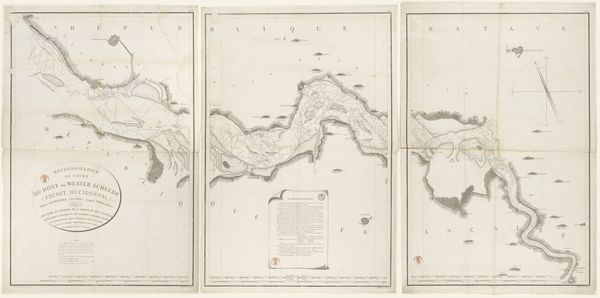
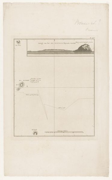
This is the third section of a map of the Westerschelde, made by E. Collin. The Westerschelde was a contested waterway that was strategically important in the early modern period. Maps like this one were crucial tools in the geopolitical struggles between the Dutch Republic and its rivals, especially Spain and England. This map probably dates from the 17th or 18th century, when the Dutch Republic was a major economic and naval power. The detailed rendering of the coastline, with its careful attention to navigable channels and potential hazards, speaks to the Republic's reliance on maritime trade and naval dominance. These maps weren't neutral records, but instruments of power, used to project control and influence. By studying them alongside archival documents, we can better understand the complex interplay of cartography, commerce, and conflict in early modern Europe.
Comments
No comments
Be the first to comment and join the conversation on the ultimate creative platform.
More like this