drawing, print, paper, ink, pen, engraving
#
drawing
#
ink paper printed
# print
#
landscape
#
paper
#
ink
#
pen
#
engraving
Dimensions: height 229 mm, width 335 mm
Copyright: Rijks Museum: Open Domain
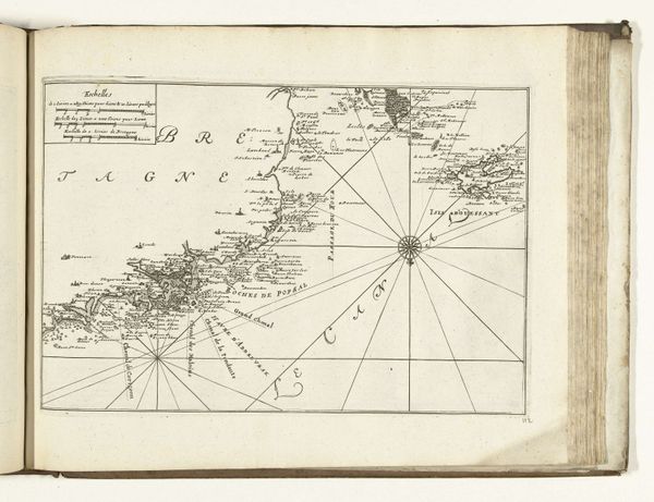
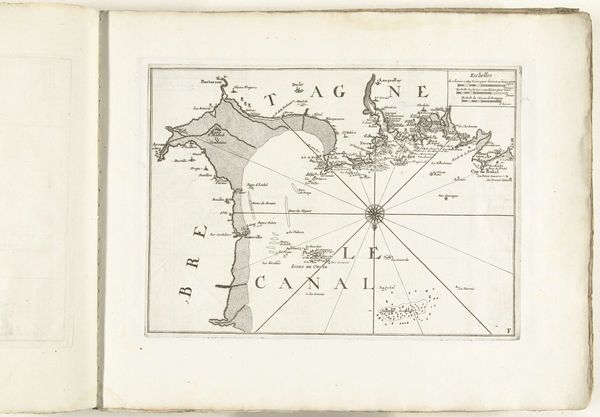
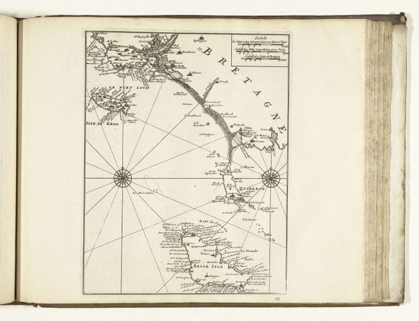
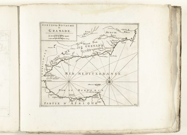
This is an anonymous map of the west coast of Brittany, created in 1726. The map uses only line work to render the landscape. Notice how the linear forms create a skeletal structure, overlaid with place names, and coastal features. Here, the map functions less as a straightforward depiction of space and more as a system of signs. Each line, each label, carries information, structured according to the principles of cartography. Consider how the grid of lines and the compass rose organize the space, imposing an order on the territory it represents. This order reflects not just a desire to chart geography, but also to codify and control it. Through its linear forms, the map invites us to consider how we perceive and structure our world. It's a reminder that maps are not neutral reflections of reality but are constructions, shaped by particular perspectives.
Comments
No comments
Be the first to comment and join the conversation on the ultimate creative platform.
More like this