drawing, print, paper, ink, engraving
#
drawing
# print
#
landscape
#
paper
#
ink
#
geometric
#
engraving
Dimensions: height 233 mm, width 332 mm
Copyright: Rijks Museum: Open Domain
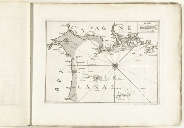
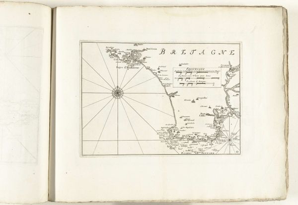
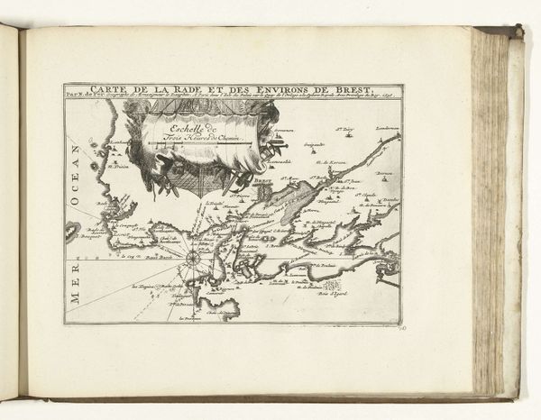
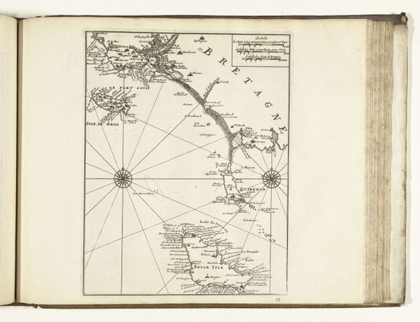
This map of the French coast between Dieppe and Honfleur was made in 1726 by an anonymous artist. It's an etching, a process that involves coating a metal plate with wax, scratching an image into the wax, and then submerging the plate in acid to bite away the exposed metal. The etched lines create a detailed rendering of the coastline, with its varying depth of line giving a sense of volume to the land. The map's production was a labour-intensive process, requiring technical skill. Cartography was essential for trade and military strategy. The etching medium allowed for the reproduction of maps on a larger scale. Consider how this contrasts with the fluidity and freedom of hand-drawn maps. The print process allowed for the standardization and dissemination of geographical information, and was embedded in European expansionism, colonialism, and commercial exchange. This map stands as a testament to the social and cultural significance of materials and processes in understanding the full meaning of an artwork. It challenges us to see the value of materials and making, rather than simply prioritizing the image itself.
Comments
No comments
Be the first to comment and join the conversation on the ultimate creative platform.
More like this