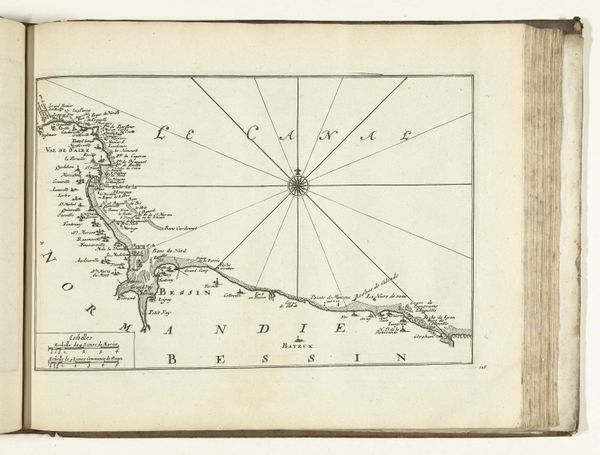
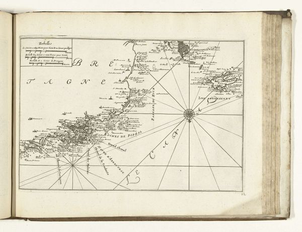
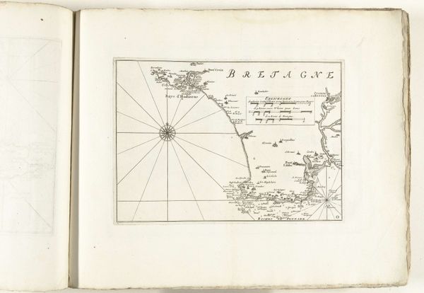
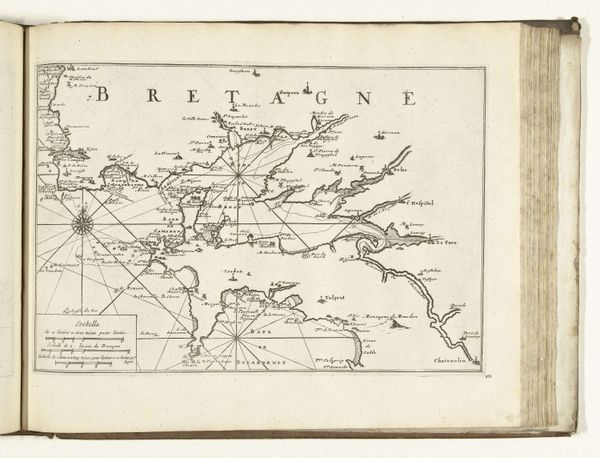
Kaart van de zuidkust van Bretagne tussen Port-Louis en Belle Ile, 1726 1726
0:00
0:00
anonymous
Rijksmuseum
print, engraving
#
baroque
# print
#
landscape
#
engraving
Dimensions: height 282 mm, width 221 mm
Copyright: Rijks Museum: Open Domain
This is an anonymous map of the south coast of Bretagne made in 1726 with pen and ink. The map presents a stark contrast between the land and sea using only black ink. The coastline’s jagged edge is sharply defined, creating an uneven and textured boundary. Notice how radiating lines intersect at large, compass-like circles, dividing the sea into a grid. This structure doesn’t just represent geographic space; it also embodies the conceptual frameworks through which the world was understood at the time. The lines and points aren't just navigational aids but are embedded with cultural codes that reflect a desire to organize and control space. The starkness and precision in this work invite us to consider how maps are more than mere representations. They are constructions of knowledge. This map destabilizes our perception, challenging us to reflect on how the act of mapping shapes our understanding and interaction with the world.
Comments
No comments
Be the first to comment and join the conversation on the ultimate creative platform.
More like this