drawing, print, paper, ink, engraving
#
drawing
#
aged paper
#
toned paper
#
baroque
# print
#
old engraving style
#
hand drawn type
#
landscape
#
paper
#
personal sketchbook
#
ink
#
ink drawing experimentation
#
geometric
#
pen-ink sketch
#
pen work
#
sketchbook drawing
#
genre-painting
#
history-painting
#
sketchbook art
#
engraving
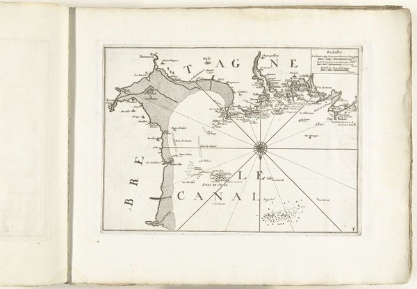
Dimensions: height 220 mm, width 260 mm
Copyright: Rijks Museum: Open Domain
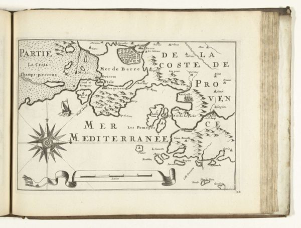
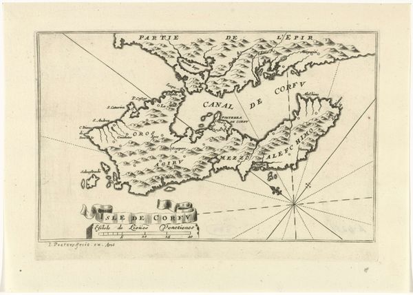
This anonymous map, made around 1702, depicts the Spanish south coast near Gibraltar. It offers a window into the geopolitical tensions of the early 18th century. The map visually asserts control through detailed outlines of coastlines and strategic placement of names. Created during the War of the Spanish Succession, this map isn't just about geography. Instead it's a political tool, defining territories and power dynamics as European powers battled for dominance. The meticulous detail suggests it was made for military or strategic planning. Note how the map presents not just Spain but also the "Partie d'Afrique" directly opposite, highlighting the proximity and potential for conflict across the Mediterranean. Understanding this map requires delving into the archives. Military records, diplomatic correspondence, and period newspapers can reveal the specific contexts in which it was used, illustrating how cartography served the ambitions of states and empires.
Comments
No comments
Be the first to comment and join the conversation on the ultimate creative platform.
More like this