drawing, print, paper, ink, engraving
#
drawing
#
dutch-golden-age
# print
#
landscape
#
paper
#
ink
#
coloured pencil
#
geometric
#
engraving
Dimensions: height 152 mm, width 222 mm
Copyright: Rijks Museum: Open Domain
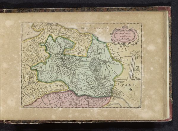
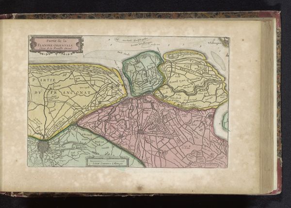
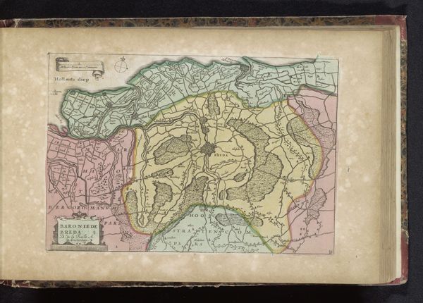
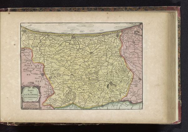
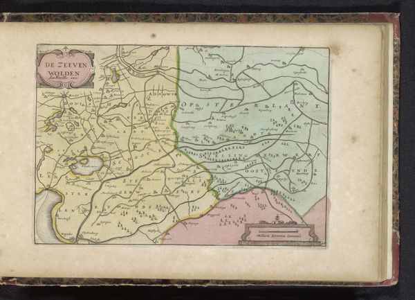
This is an anonymous map of Drenthe, likely made in the 17th or 18th century, using engraving techniques. Its function was both practical and symbolic. Mapping wasn't just about knowing where things were, it was about power, control, and visualizing territory. Consider the historical context: the Dutch Republic was a major player in global trade and exploration. Accurate maps were vital for navigation, commerce, and military strategy. Maps like this also served to define and solidify political boundaries. Drenthe, in particular, was a region with a complex history, caught between different powers. This map asserts a certain Dutch claim or vision of the area. The map is a product of its time, reflecting the growing importance of cartography as a tool of statecraft. To fully understand its meaning, we can consult historical archives, comparing it to other maps, and tracing the evolution of Dutch territorial claims. Remember, art always exists within a specific social and institutional context, and understanding that context is key to interpreting its significance.
Comments
No comments
Be the first to comment and join the conversation on the ultimate creative platform.
More like this