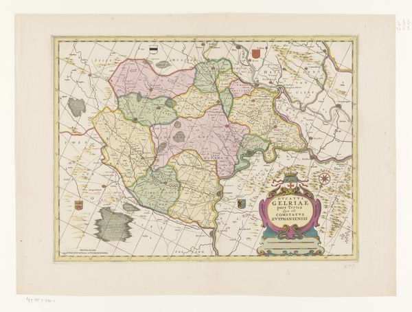
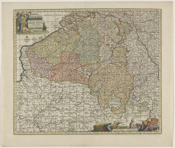
Kaart van het kwartier van Brussel, onderdeel van het hertogdom Brabant 1637 - 1711
0:00
0:00
print, engraving
#
baroque
# print
#
geometric
#
cityscape
#
history-painting
#
engraving
Dimensions: height 415 mm, width 518 mm
Copyright: Rijks Museum: Open Domain
This is an undated map of the Brussels quarter, part of the Duchy of Brabant, created by an anonymous artist. The creation of maps like this one was profoundly shaped by socio-political contexts. They served not just as geographical tools but as assertions of power, delineating territories and reinforcing the identities of rulers and regions. Notice how the regions are clearly demarcated, a visual encoding of political control. The coat of arms adds to the sense of authority and legitimacy. What does it mean to map a place? This map flattens a complex area into a set of borders and names. How does this affect our understanding of the area? It reduces a lived, diverse space into something that can be easily surveyed and comprehended from afar. Consider the emotional experience: a mix of pride for those within and perhaps anxiety for those outside the delineated borders. Maps are never neutral; they shape how we perceive and interact with the world.
Comments
No comments
Be the first to comment and join the conversation on the ultimate creative platform.
More like this