1691 - 1706
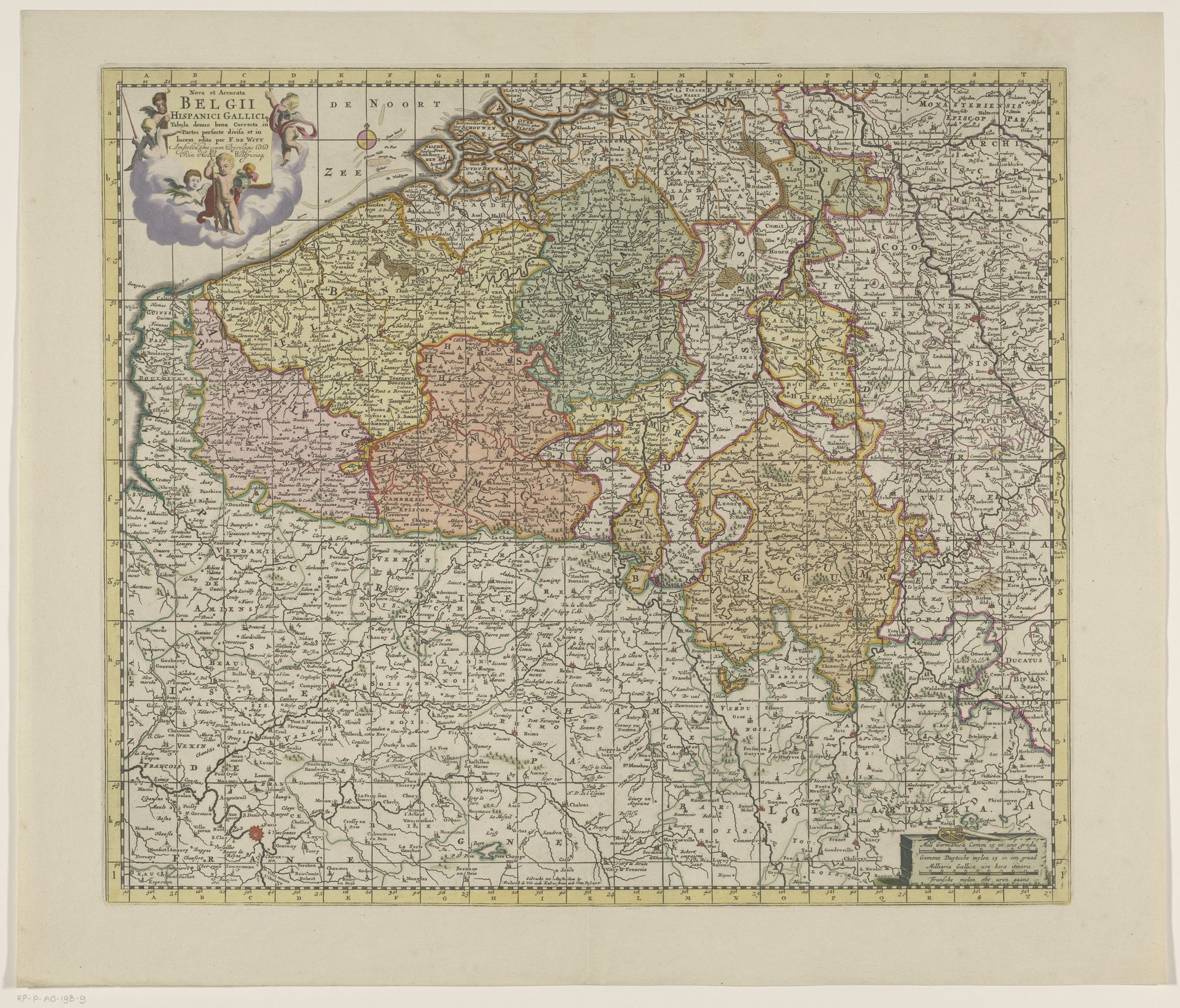
Kaart van de Zuidelijke Nederlanden
Anonymous
@anonymousLocation
RijksmuseumListen to curator's interpretation
Curatorial notes
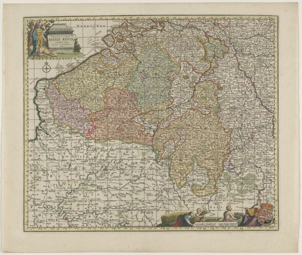
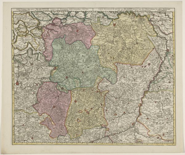
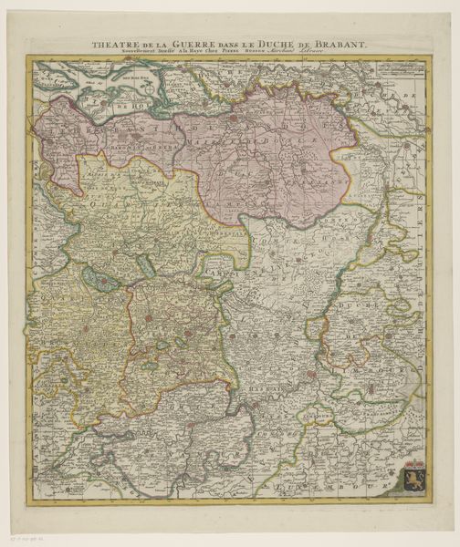
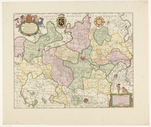
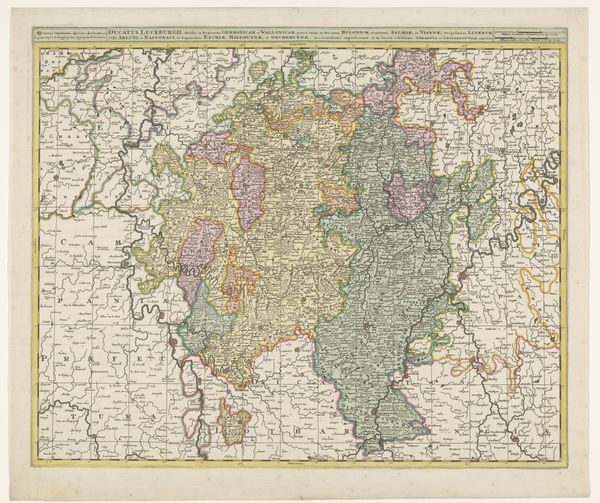
This is an anonymous map of the Southern Netherlands. It is a hand-colored engraving on paper. The map presents a carefully structured view of the region through its intricate organization of space. Each area is delineated by subtle color variations which creates a patchwork effect. The fine grid lines and detailed place names reflect the period’s burgeoning interest in scientific accuracy and empirical observation. Consider this map as more than a navigational tool. It is a representation of power and knowledge. The very act of mapping asserts control over territory, turning fluid geographical space into a fixed, knowable entity. Note the elaborate cartouche. What does its inclusion tell us about the mapmakers and their intended audience? It suggests a desire to not just inform, but also to impress, embedding the map within a visual language of authority and prestige. The map invites us to reflect on how we perceive and represent the world. It challenges the notion of maps as purely objective tools, revealing the complex interplay between form, function, and ideology.