print, engraving
#
baroque
# print
#
landscape
#
cityscape
#
engraving
Dimensions: height 593 mm, width 503 mm
Copyright: Rijks Museum: Open Domain
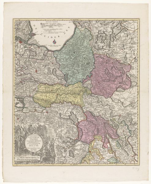
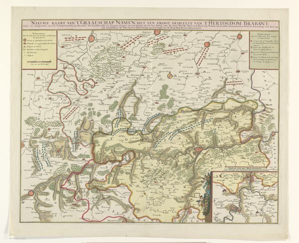
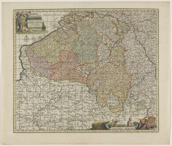
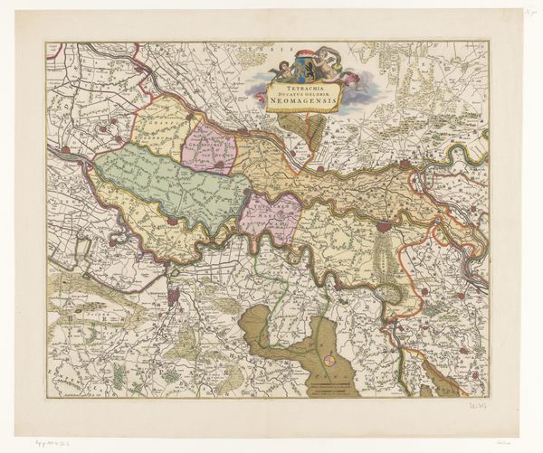
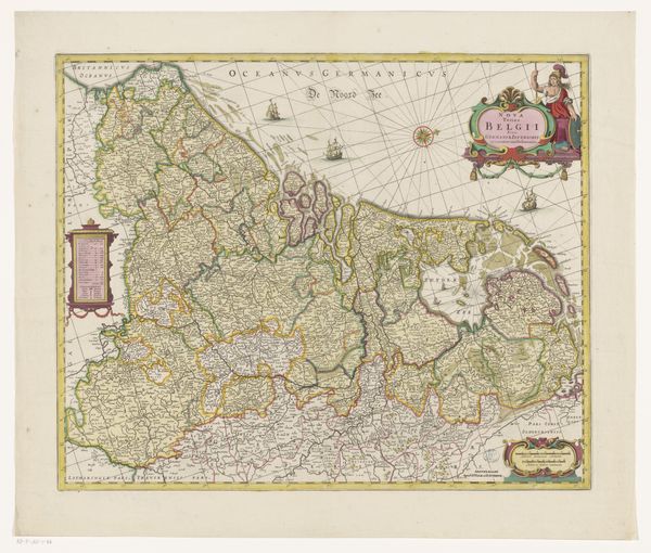
Editor: Here we have Abraham Allard’s "Kaart van Gelderland," from 1705. It’s an engraving, a meticulously rendered map of the Dutch province. The level of detail is really striking. What stories do you think this map is telling us, beyond geography? Curator: Maps are never neutral. They're reflections of power and perspective. This “Kaart van Gelderland,” while appearing objective, served to solidify Dutch identity and assert control over territory during a period of significant political and economic upheaval. Think about how borders are presented; they weren’t just lines on a page, but tools defining "us" versus "them". What does this visualization of space enable? Editor: So it's not just about accurately portraying the land, but also about shaping how people understood their place within it. What do you think about the people illustrated on the bottom? Curator: Precisely. And that allegorical cartouche in the lower corner, with figures representing abundance and the province itself – consider its ideological function. These images promote Gelderland as prosperous, fertile, and inherently valuable. Who benefits from this particular narrative of plenty? Editor: I hadn't thought about it that way, it’s a curated image, isn't it? It also serves a purpose as propaganda. It definitely prompts you to think about whose perspective is being prioritized. Curator: Exactly! Maps like these actively construct, rather than passively reflect, reality. It invites us to consider who has the power to define the land and its resources. Understanding art through the lens of historical power dynamics, who profits, and what inequalities persist—is very relevant to contemporary art. How do you think these perspectives shift your views of art in general? Editor: Definitely something I'll consider more deeply moving forward. Thanks so much. I’ll never look at a map the same way again. Curator: Excellent! Recognizing art’s involvement in these issues, as we are now, enables new avenues for interpretation and dialogue.
Comments
No comments
Be the first to comment and join the conversation on the ultimate creative platform.
More like this