drawing, paper, watercolor
#
drawing
#
baroque
#
paper
#
watercolor
#
coloured pencil
#
cityscape
#
watercolor
Dimensions: height 178 mm, width 281 mm, height 532 mm, width 318 mm
Copyright: Rijks Museum: Open Domain
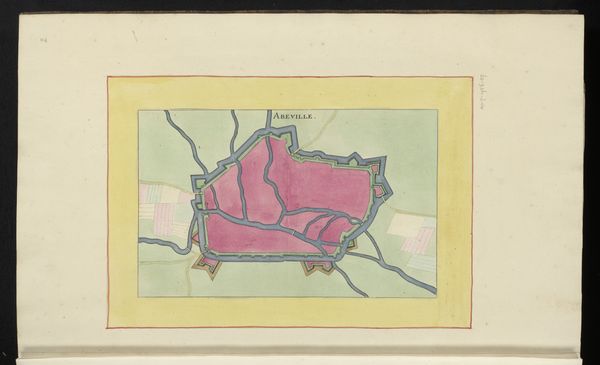
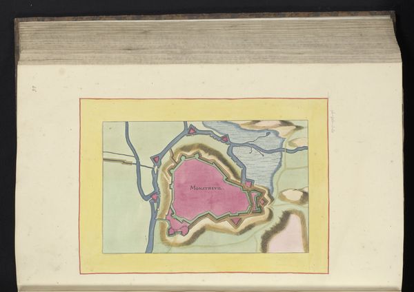
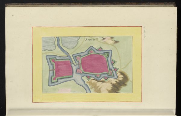
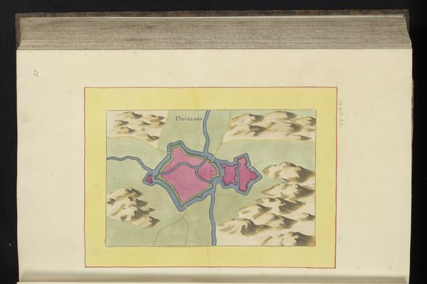
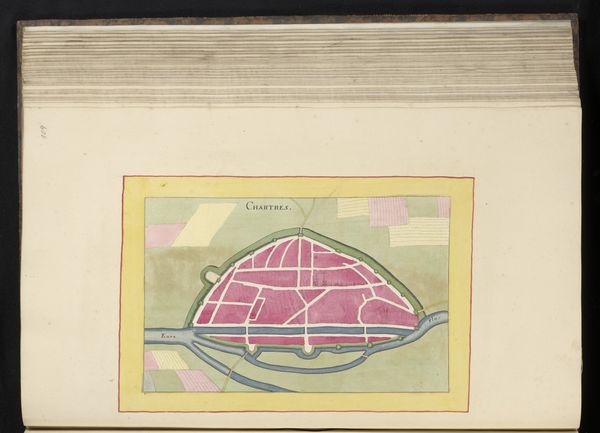
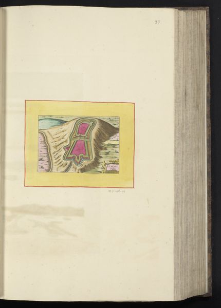
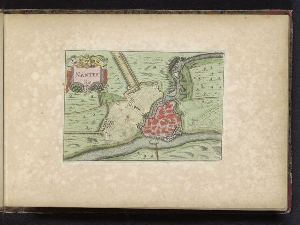
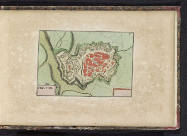
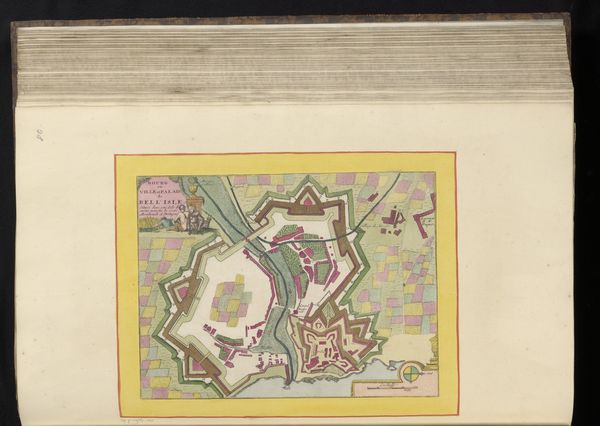
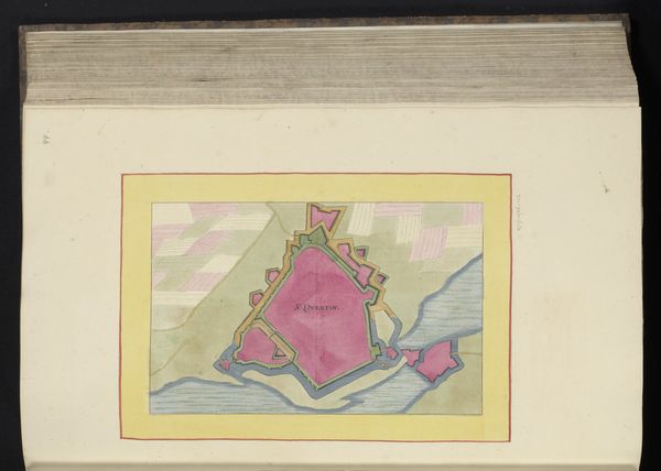
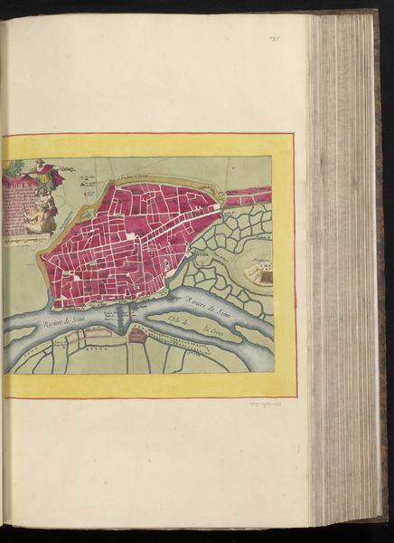
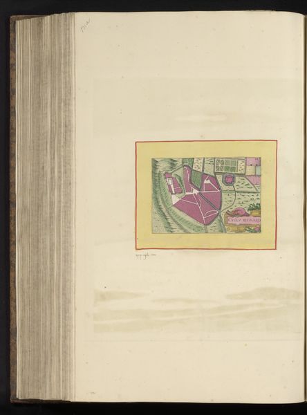
Editor: Here we have an anonymous baroque-style vestingplattegrond, or map, of La Fère from 1656, rendered with watercolor on paper. It's so meticulously rendered; a blushing rose-color city surrounded by waterways. What significance would such an image carry for its original viewers? Curator: Indeed! Maps such as these served far more than a merely practical purpose; they communicated power and security. The strategic value of La Fère, fortified and presented with such precision, reflects the 17th century’s obsession with territorial control. Notice how the waterways, painted in serene blues, serve as both lifelines and protective moats, emphasizing the city’s relationship with nature and its dependence on it for survival and defense. Can you sense the deeper psychological reassurance such a depiction of control offered? Editor: Absolutely. The clear delineation, the control of space; it speaks volumes about that era's anxieties. It almost feels like a form of… wish fulfillment? Curator: Precisely. Think about what this symbolizes: humans mastering their environment, ordering it according to their will. The emotional comfort that comes from such images is profound, particularly amidst the uncertainties of the 17th century. How do you think this type of visual messaging influenced cultural identity? Editor: Well, I suppose constantly seeing your city presented this way would foster a sense of civic pride and reinforce the idea of your home as a bastion of order in a chaotic world. I hadn't thought of a map in such emotional, almost propagandistic, terms before. Curator: It's all about cultural memory! Recognizing the city in its perfectly planned state imprints a specific understanding of the community's identity in the viewer's mind. We can see the map then as both a historical document and a carefully constructed cultural symbol. Editor: Looking at it that way adds another layer to the understanding. It's definitely made me consider maps beyond their simple utilitarian function. Thanks!
Comments
No comments
Be the first to comment and join the conversation on the ultimate creative platform.
More like this