drawing, painting, paper, watercolor
#
drawing
#
water colours
#
baroque
#
painting
#
paper
#
watercolor
#
cityscape
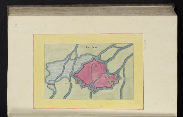
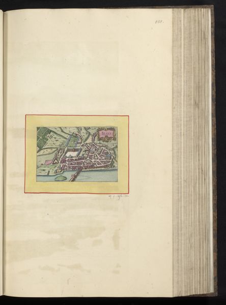
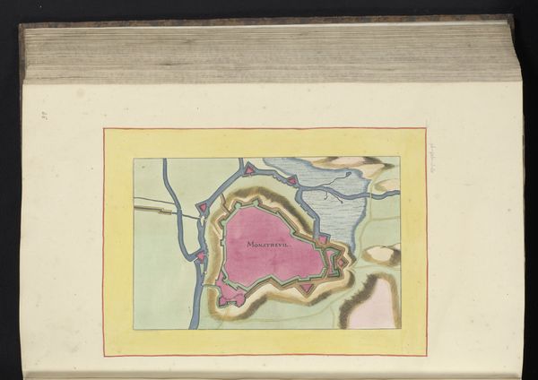
Dimensions: height 184 mm, width 283 mm, height 532 mm, width 318 mm
Copyright: Rijks Museum: Open Domain
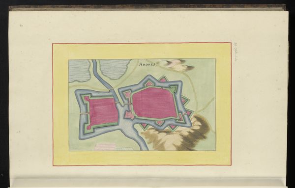
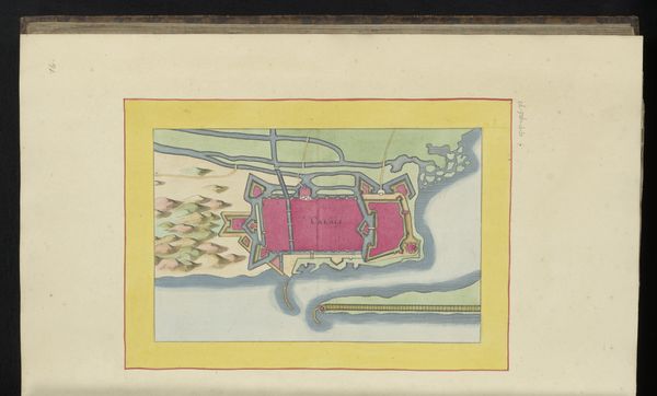
This anonymous plan of Doullens offers a bird’s-eye view of the fortified city, encircled by protective walls and waterways. The representation of urban spaces has deep roots, evoking a sense of control and understanding of our environment. Consider how the walls, rendered here in a vibrant pink, are reminiscent of the protective embrace seen in ancient mother-goddess figures. Across cultures, walls appear to be symbols of security, protection, and demarcation, from the walls of Jericho to the Great Wall of China. They mirror our deepest psychological needs for safety and order, reflecting a collective desire to define and defend our territories. The image of a city, so carefully planned and depicted, becomes a symbol of civilization itself. It's a dream of order amidst chaos, a testament to human ingenuity, and our enduring quest to shape the world around us.
Comments
No comments
Be the first to comment and join the conversation on the ultimate creative platform.
More like this